Extraction and Processing of Raw Materials · Celtic / Roman Period
Römische Schürfflächen von Bohnerz
- Listed monument


© GeoBasis-DE / LVermGeoRP, dl-de/by-2-0
There is no picture of this object yet. Do you have a photo that you would like to make available to the Kulturdatenbank? Submit a picture
Description
This description is only available in German.
Translate with Google opens this page in Google Translate (external service)
Flur In den Kaulen (auch Grundelskaul genannt)
[http://www.stockemer.homepage.t-online.de/roehlweb/index.htm]
Bohnerze sind, aus Verwitterung entstandene, oft bohnenförmige Knollen aus Limonit (Brauneisenstein). Sie treten zusammen mit braunem oder rotem Lehm in Spalten oder Höhlen aus Kalkgestein auf.
Bis ins 19. Jahrhundert wurden Bohnerze vor allem in Südwestdeutschland und in der Schweiz abgebaut und deckten so teilweise den Bedarf an Eisen.
[Wikipedia http://de.wikipedia.org/wiki/Bohnerz]
Classification
- Subject area
- Architectural and Art Monuments
- Category
- Economy, Trade and Transport
- Object type
- Extraction and Processing of Raw Materials
- Date
- Circa 500 vor Chr. bis circa 500 nach Chr.
- Period
- Celtic / Roman Period
Location
- District
- Eifelkreis Bitburg-Prüm
- Collective municipality
- Bitburger Land
- Municipality
- Röhl
- Field name
- In den Kaulen
- Coordinates
- WGS 84: 49.948048, 6.585681 (Position: presumed) WGS 84: 49° 56′ 53.0″ N, 6° 35′ 08.5″ E UTM 32 (ETRS89): E 326795 · N 5535649
Sources
Data sources
On the internet
Last edited: 23 Feb 2006 Object ID: 10820
https://kulturdb.de/en/objekt/10820-roehl-roemische-schuerfflaechen-von-bohnerz
Nearby
The nearest objects
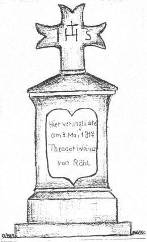 440 m
Wayside Shrines and Stations of the Cross
Gedenktafel mit Abschlußkreuz
Burial Mounds
Grabhügelnekropole
Field Names
Auf dem Rahmtriesch
Field Names
Bei der Lehmkaul
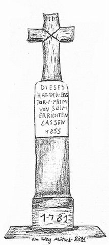 590 m
Wayside Shrines and Stations of the Cross
Schaftkreuz aus Sandstein
Field Names
Im Rosengarten am Sallerberg
Field Names
Im Rosengarten
Field Names