Wayside Shrines and Stations of the Cross · Renaissance
Wegekreuz
- Listed monument


© GeoBasis-DE / LVermGeoRP, dl-de/by-2-0
There is no picture of this object yet. Do you have a photo that you would like to make available to the Kulturdatenbank? Submit a picture
Description
This description is only available in German.
Translate with Google opens this page in Google Translate (external service)
Das Wegekreuz des 17. Jahrhunderts aus rotem Sandstein erhebt sich über hohem Sockel. Auf dem Schaft mit gebrochenen Kanten, deren oberen Übergang spätgotische Zierelemente vermitteln, befindet sich eine gedrungene, satteldachförmige Nische mit Abschlusskreuz, dessen Mitte rautenförmig durchbrochen ist. [1]
Classification
- Subject area
- Architectural and Art Monuments
- Category
- Religious Buildings
- Object type
- Wayside Shrines and Stations of the Cross
- Date
- 17. Jahrhundert
- Period
- Renaissance
Location
- District
- Eifelkreis Bitburg-Prüm
- Collective municipality
- Bitburger Land
- Municipality
- Feilsdorf
- Street
- Vor Dorfstraße 2
- Field name
- Ortslage
- Coordinates
- WGS 84: 49.989437, 6.408596 (Position: exact) WGS 84: 49° 59′ 22.0″ N, 6° 24′ 30.9″ E UTM 32 (ETRS89): E 314252 · N 5540675
Sources
Data sources
- [1] Denkmaltopographie Bundesrepublik Deutschland, Kulturdenkmäler in Rheinland-Pfalz, Kreis Bitburg-Prüm, 9.2 Wernersche Verlagsgesellschaft 1994. ISBN 3-88462-132-7
On the internet
Last edited: 20 Mar 2006 Object ID: 10842
https://kulturdb.de/en/objekt/10842-feilsdorf-wegekreuz
Nearby
The nearest objects
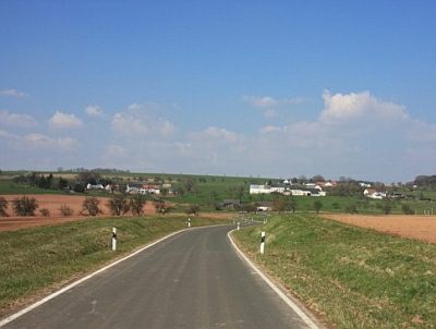 100 m
Place Names / Local History
Erste Erwähnung als Fulsdorf
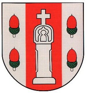 100 m
Coats of Arms
Wappen der Gemeinde Feilsdorf
Farmhouses and Farm Buildings
Dreiseithof
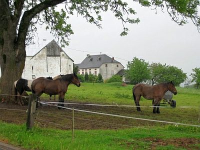 110 m
Farmhouses and Farm Buildings
Wohnhaus
Farmhouses and Farm Buildings
Wohnhaus
Field Names
Im Kappespesch
Field Names
Im Grund
Farmhouses and Farm Buildings