Settlements · Celtic / Roman Period
Römische Bebauung
Um die Kirche Sankt Helena


© GeoBasis-DE / LVermGeoRP, dl-de/by-2-0
There is no picture of this object yet. Do you have a photo that you would like to make available to the Kulturdatenbank? Submit a picture
Classification
- Subject area
- Archaeological Monuments
- Category
- Settlements
- Object type
- Settlements
- Date
- Circa 500 vor Chr. bis circa 500 nach Chr.
- Period
- Celtic / Roman Period
Location
- District
- City of Trier
- Collective municipality
- Verbandsfreie Gemeinde Trier
- Town
- Trier
- Locality / location
- Euren
- Street
- Sankt-Helena-Straße
- Field name
- Ortslage
- Coordinates
- WGS 84: 49.740391, 6.607813 (Position: exact) WGS 84: 49° 44′ 25.4″ N, 6° 36′ 28.1″ E UTM 32 (ETRS89): E 327646 · N 5512513
Sources
Data sources
- [1] Rettet das archäologische Erbe in Trier. Schriftenreihe des Rheinischen Landesmuseums Trier. Nr. 31. ISBN 3-923319-62-2 Online-Shop: www.landesmuseum-trier-shop.de
On the internet
Last edited: 21 Apr 2006 Object ID: 10950
https://kulturdb.de/en/objekt/10950-trier-roemische-bebauung
Nearby
The nearest objects
No picture
20 m
Settlements
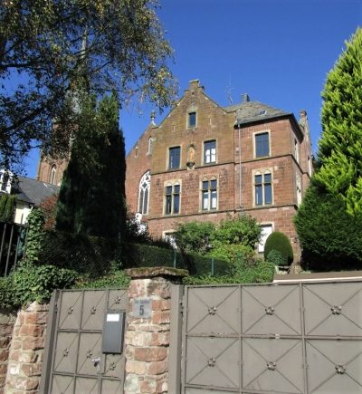
Herrschaftliche Villa
 30 m
Catholic Churches
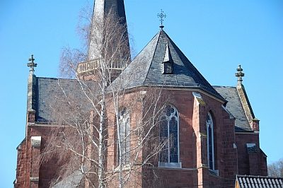
Sankt Helena
 30 m
Wayside Shrines and Stations of the Cross
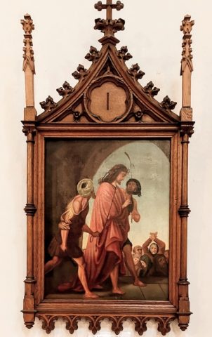
Sankt Helena - Innen - Kreuzwegstationen (1)
 30 m
Wayside Shrines and Stations of the Cross
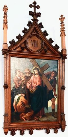
Sankt Helena - Innen - Kreuzwegstationen (2)
 30 m
Lime Trees
Linde
 50 m
Rectories
Pfarrhaus
No picture
60 m
Settlements
Römische Bebauung Sankt Helena Straße
 60 m
War Memorials