Burial Mounds · Celtic / Roman Period
Östlicher Friedhof
- Listed monument


© GeoBasis-DE / LVermGeoRP, dl-de/by-2-0
There is no picture of this object yet. Do you have a photo that you would like to make available to the Kulturdatenbank? Submit a picture
Description
This description is only available in German.
Translate with Google opens this page in Google Translate (external service)
Der östliche Friedhof scheint sich an der Ausfallstraße (Olewigerstraße) in Richtung des Amphitheaters entlanggezogen zu haben. Nach Ausweis von Skulpturenresten erhoben sich hier im 1. Jahrhundert reich verzierte Grabbauten. [1]
Classification
- Subject area
- Archaeological Monuments
- Category
- Burials
- Object type
- Burial Mounds
- Date
- 1. Jahrhundert nach Chr.
- Period
- Celtic / Roman Period
Location
- District
- City of Trier
- Collective municipality
- Verbandsfreie Gemeinde Trier
- Town
- Trier
- Locality / location
- Olewig
- Street
- Olewigerstraße
- Field name
- Am Neuberg
- Coordinates
- WGS 84: 49.746993, 6.651908 (Position: exact) WGS 84: 49° 44′ 49.2″ N, 6° 39′ 06.9″ E UTM 32 (ETRS89): E 330845 · N 5513147
Sources
Data sources
- [1] Rettet das archäologische Erbe in Trier. Schriftenreihe des Rheinischen Landesmuseums Trier. Nr. 31. ISBN 3-923319-62-2 Online-Shop: www.landesmuseum-trier-shop.de
On the internet
Last edited: 21 Apr 2006 Object ID: 10957
https://kulturdb.de/en/objekt/10957-trier-oestlicher-friedhof
Nearby
The nearest objects
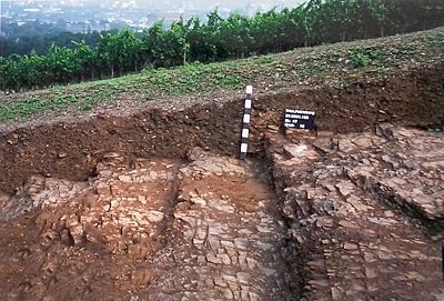 60 m
Vineyard Sites
Boden-Denkmal auf dem Petrisberg
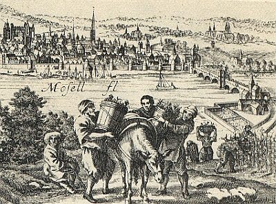 60 m
Vineyard Sites
Langmauer
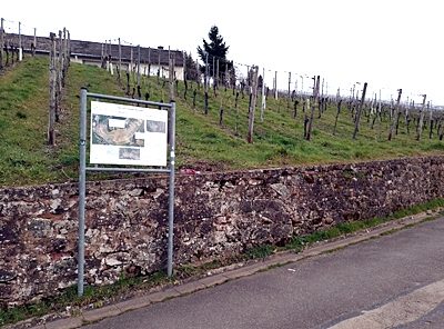 70 m
Vineyard Sites
Trierer St. Maximiner-Kreuzberg
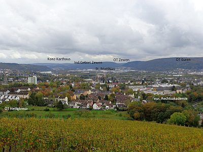 80 m
Viewpoints
Aussichtspunkt Sickingerstraße
100 m
Vineyard Sites
Weinbau im Mittelalter
120 m
Vineyard Sites
Kaskeller (Amphitheater)
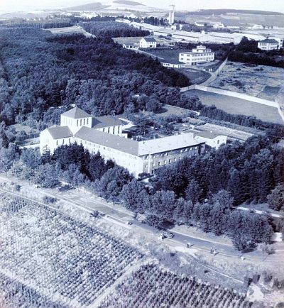 140 m
Monastic Complexes
Ehemaliges Kloster Sankt Clara
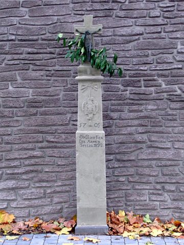 190 m
Wayside Shrines and Stations of the Cross