Wayside Shrines and Stations of the Cross · Baroque / Rococo
Kirchhof (3)
Kreuzigungsbildstock von 1742
- Listed monument


© GeoBasis-DE / LVermGeoRP, dl-de/by-2-0
There is no picture of this object yet. Do you have a photo that you would like to make available to the Kulturdatenbank? Submit a picture
Description
This description is only available in German.
Translate with Google opens this page in Google Translate (external service)
[...] Ein Kreuzigungsbildstock von 1742 ist in der nördlichen Kirchhofserweiterung aufgestellt. [1]
Classification
- Subject area
- Architectural and Art Monuments
- Category
- Religious Buildings
- Object type
- Wayside Shrines and Stations of the Cross
- Date
- 1742
- Period
- Baroque / Rococo
Location
- District
- Eifelkreis Bitburg-Prüm
- Collective municipality
- Prüm
- Municipality
- Niederlauch
- Street
- Kirchweg 1
- Field name
- Ortslage
- Coordinates
- WGS 84: 50.162628, 6.428196 (Position: exact) WGS 84: 50° 09′ 45.5″ N, 6° 25′ 41.5″ E UTM 32 (ETRS89): E 316320 · N 5559879
Sources
Data sources
- [1] Rund um die Kirche im Dorf - Kirchen und Kapellen der Westeifel. Hrsg. Geschichtsverein Prümer Land, Prüm, 2004. ISBN: 3-931478-14-9 http://www.gvpl.de/
On the internet
Last edited: 28 Feb 2002 Object ID: 11017
https://kulturdb.de/en/objekt/11017-niederlauch-kirchhof-3
Nearby
The nearest objects
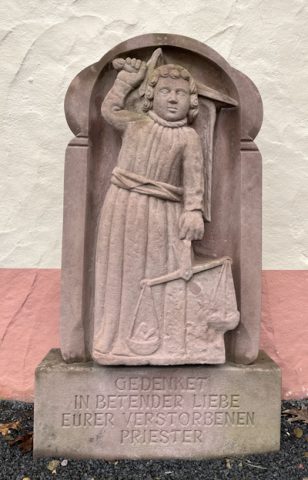 20 m
Wayside Shrines and Stations of the Cross
Kirchhof (1)
Cremation Graves
Römische Aschenkiste
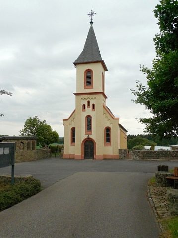 50 m
Catholic Churches
Sankt Martin
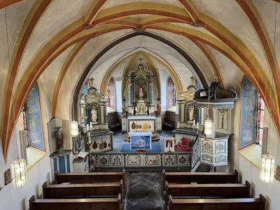 50 m
Catholic Churches
Sankt Martin - Innenausstattung
Wayside Shrines and Stations of the Cross
Kirchhof (4)
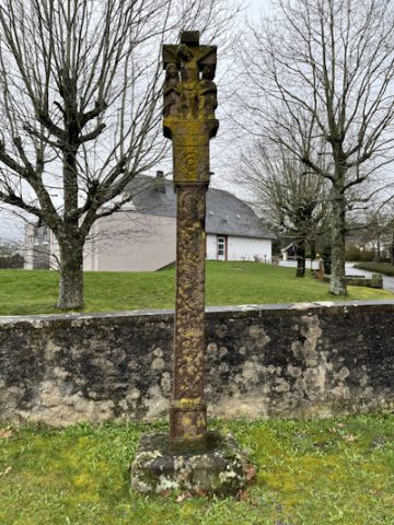 70 m
Wayside Shrines and Stations of the Cross
Kirchhof (2)
Wayside Shrines and Stations of the Cross
Wegekreuz
Field Names