Catholic Churches · Early Middle Ages / Romanesque
Kirche Sankt Remigius
Ehemalige Pfarrkirche


© GeoBasis-DE / LVermGeoRP, dl-de/by-2-0
There is no picture of this object yet. Do you have a photo that you would like to make available to the Kulturdatenbank? Submit a picture
Description
This description is only available in German.
Translate with Google opens this page in Google Translate (external service)
[...] Etwa 500 Meter südwestlich von Sankt Marien, ebenfalls am erhöhten Uferrand der Mosel bei Zurmaien gelegen, stand in Höhe des Bootshauses eine alte Kirche Sankt Remigius, die in Verbindung mit einer Ufersiedlung von Fischern und Schiffern bereits in fränkischer Zeit begründet worden ist. [1]
Classification
- Subject area
- Architectural and Art Monuments
- Category
- Religious Buildings
- Object type
- Catholic Churches
- Date
- Circa 500 nach Chr. bis circa 1220
Location
- District
- City of Trier
- Collective municipality
- Verbandsfreie Gemeinde Trier
- Town
- Trier
- Locality / location
- Trier-Nord
- Street
- Zurmaiener Straße
- Field name
- Unter der Mariener Acht
- Coordinates
- WGS 84: 49.768580, 6.640718 (Position: presumed) WGS 84: 49° 46′ 06.9″ N, 6° 38′ 26.6″ E UTM 32 (ETRS89): E 330115 · N 5515572
Sources
Data sources
- [1] Führer zu den vor- und frühgeschochtlichen Denkmälern. Bd. 32 Trier. Hrsg. Römisch-Germanisches Zentralmuseum, Mainz. 1977.
On the internet
Last edited: 16 Aug 2022 Object ID: 11073
https://kulturdb.de/en/objekt/11073-trier-nord-kirche-sankt-remigius
Nearby
The nearest objects
Chapels
Kapelle beim Studentenwohnheim Cusanushaus
Roman Tombs
Römische Gräber und Grabbauten
 150 m
Recreation and Sports Facilities
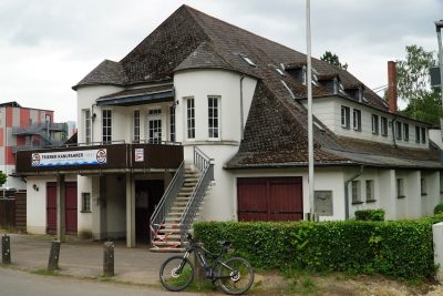
Bootshaus der Trierer Kanufahrer
 150 m
Monuments
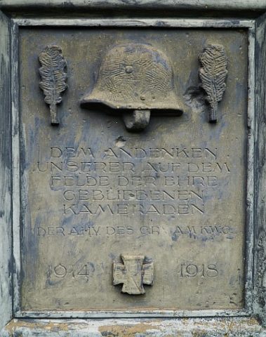
Bootshaus der Trierer Kanufahrer - Gedenktafel
 210 m
Street Names
Wilhelm-Leuschner-Straße
Place Names / Local History
Zurmaien
Extraction and Processing of Raw Materials
Steinbruch der Römerzeit
Recreation and Sports Facilities