Street Names · Undated
Altneugasse
- Listed monument


© GeoBasis-DE / LVermGeoRP, dl-de/by-2-0
There is no picture of this object yet. Do you have a photo that you would like to make available to the Kulturdatenbank? Submit a picture
Description
This description is only available in German.
Translate with Google opens this page in Google Translate (external service)
Sie erschließt die östlich des Rathauses sich anfügende Bebauung, geht von der Burgstraße aus und mündet in diese. Ursprünglich führte sie östlich des alten Rathauses auch zur Neustraße (ehemalige Freygasse). Seit dessen Erweiterung 1922 besteht diese Verbindung nicht mehr. [1]
Classification
- Subject area
- History
- Category
- Place Names / Local History
- Object type
- Street Names
- Date
- Undatiert
- Period
- Undated
Location
- District
- Bernkastel-Wittlich
- Collective municipality
- Verbandsfreie Gemeinde Wittlich
- Town
- Wittlich
- Street
- Altneugasse
- Field name
- Ortslage
- Coordinates
- WGS 84: 49.986013, 6.888573 (Position: exact) WGS 84: 49° 59′ 09.6″ N, 6° 53′ 18.9″ E UTM 32 (ETRS89): E 348642 · N 5539212
Sources
Data sources
- [1] Denkmaltopographie Bundesrepublik Deutschland, Kulturdenkmäler in Rheinland-Pfalz, Kreis Bernkastel-Wittlich 4.1 Stadt Wittlich. Schwann ISBN 3-590-31034-0
On the internet
Last edited: 9 Jul 2006 Object ID: 11163
https://kulturdb.de/en/objekt/11163-wittlich-altneugasse
Nearby
The nearest objects
Town Houses and Commercial Buildings
Wohnhaus
Town Houses and Commercial Buildings
Wohnhaus
Coats of Arms
Wappenstein
Catering, Inns and Hotels
Ehemaliges Gasthaus von 1907
 50 m
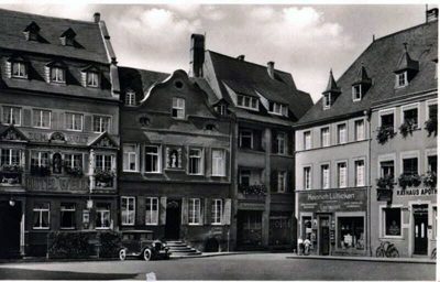
Town Houses and Commercial Buildings
Wohnhäuser
 50 m
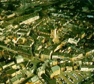
Historic Townscapes
Historisches Ortsbild
 50 m
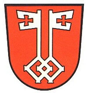
Coats of Arms
Stadtwappen Wittlich
 50 m
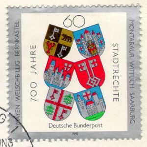
Chartered Towns