Street Names · Renaissance
Klausener Weg
- Listed monument


© GeoBasis-DE / LVermGeoRP, dl-de/by-2-0
There is no picture of this object yet. Do you have a photo that you would like to make available to the Kulturdatenbank? Submit a picture
Description
This description is only available in German.
Translate with Google opens this page in Google Translate (external service)
Etwa in südlicher Richtung zweigt von der Trierer Landstraße wohl schon seit dem 17. Jahrhundert ein Weg ab, der zu der Wallfahrtsstätte in Klausen führt. Im ersten Teil von Wohnbauten, besonders aber von der Kaserne und der zugehörigen Siedlung geprägt, wird er nach der Unterquerung der Bundesstraße zum Feldweg und bewahrt am Eintritt in den Mundwald mit zwei Kapellen und zwei Bildstöcken noch etwa das ursprüngliche Bild eines Wallfahrtsweges. [1]
Classification
- Subject area
- History
- Category
- Place Names / Local History
- Object type
- Street Names
- Date
- 17. Jahrhundert
- Period
- Renaissance
Location
- District
- Bernkastel-Wittlich
- Collective municipality
- Verbandsfreie Gemeinde Wittlich
- Town
- Wittlich
- Street
- Klausener Weg
- Field name
- Ortslage
- Coordinates
- WGS 84: 49.977532, 6.884359 (Position: exact) WGS 84: 49° 58′ 39.1″ N, 6° 53′ 03.7″ E UTM 32 (ETRS89): E 348313 · N 5538278
Sources
Data sources
- [1] Denkmaltopographie Bundesrepublik Deutschland, Kulturdenkmäler in Rheinland-Pfalz, Kreis Bernkastel-Wittlich 4.1 Stadt Wittlich. Schwann ISBN 3-590-31034-0
On the internet
Last edited: 9 Jul 2006 Object ID: 11169
https://kulturdb.de/en/objekt/11169-wittlich-klausener-weg
Nearby
The nearest objects
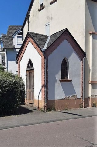 200 m
Chapels
Antonius-Kapelle
Chapels
Ehemalige Antonius-Kapelle
 260 m
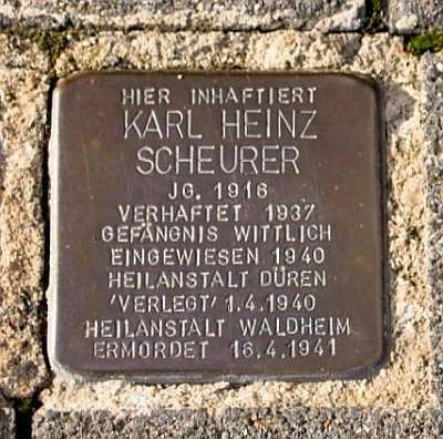
Stolpersteine (Stumbling Stones)
Stolperstein für Karl Heinz Scheurer
 260 m
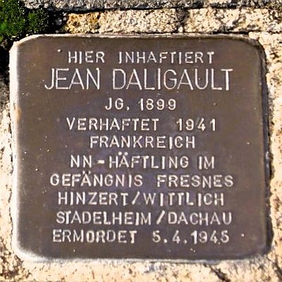
Stolpersteine (Stumbling Stones)
Stolperstein für Jean Daligault
 360 m
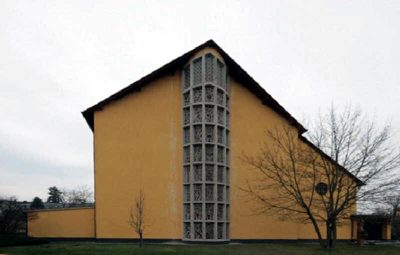
Catholic Churches
Sankt Bernhard
 360 m
Catholic Churches
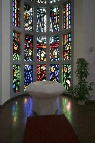
Sankt Bernhard - Beton-Glas-Fenster
360 m
Organs
Sankt Bernhard - Orgel
Farmhouses and Farm Buildings