Street Names · Undated
Denkmalstrasse

Description
This description is only available in German.
Translate with Google opens this page in Google Translate (external service)
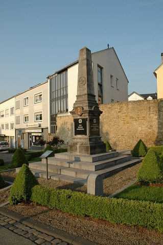
Die nach dem Gedenkstein für die Gefallenen des Krieges 1870 / 71 benannte Strasse im Osten Bitburgs führte einst an den 1794 eingerichteten Friedhof vor der mittelalterlichen Stadtmauer vorbei. Heute dient er als Parkplatz. Die östliche Straßenseite nehmen die gründerzeitliche Villa Limburg und das Willibrord-Gymnasium von 1965 ein. [1]
Classification
- Subject area
- History
- Category
- Place Names / Local History
- Object type
- Street Names
- Date
- Undatiert
- Period
- Undated
Location
- District
- Eifelkreis Bitburg-Prüm
- Collective municipality
- Verbandsfreie Gemeinde Bitburg
- Town
- Bitburg
- Street
- Denkmalstraße
- Field name
- Ortslage
- Coordinates
- WGS 84: 49.973622, 6.526703 (Position: exact) WGS 84: 49° 58′ 25.0″ N, 6° 31′ 36.1″ E UTM 32 (ETRS89): E 322659 · N 5538630
Sources
Data sources
- [1] Denkmaltopographie Bundesrepublik Deutschland, Kulturdenkmäler in Rheinland-Pfalz, Kreis Bitburg-Prüm, 9.2 Wernersche Verlagsgesellschaft 1994. ISBN 3-88462-132-7
On the internet
Picture credits
- Picture 1: © Lothar Monshausen, Fotostream http://www.flickr.com/photos/lomo56/tags/meteorite/
Last edited: 26 Mar 2010 Object ID: 11183
https://kulturdb.de/en/objekt/11183-bitburg-denkmalstrasse
Nearby
The nearest objects
 less than 10 m
War Memorials
Kriegerdenkmal in der Denkmalstraße
 50 m
Field Names
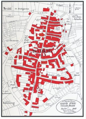
Auf Adtrich
50 m
Field Names
Der Kirchhof
Farmhouses and Farm Buildings
Scheune
 60 m
Town Houses and Commercial Buildings
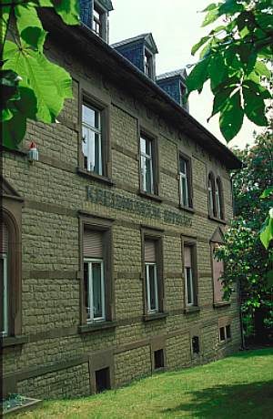
Villa Limbourg
Town Houses and Commercial Buildings
Fassade
 70 m
Street Names
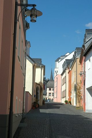
Adrigstraße
80 m
Field Names