Street Names · Undated
Hauptstrasse
- Listed monument


© GeoBasis-DE / LVermGeoRP, dl-de/by-2-0
There is no picture of this object yet. Do you have a photo that you would like to make available to the Kulturdatenbank? Submit a picture
Description
This description is only available in German.
Translate with Google opens this page in Google Translate (external service)
Die heute als Fußgängerzone gestaltete Einkaufsstrasse verband einst Nord- und Südtor der Stadt. Im Norden erweitert sie sich zum Rathausplatz mit der Liebfrauenkirche, der Platz vor dem Postamt im Süden ist der ehemalige Hospitalsplatz. Von ihrer historischen Bebauung überlebten zwei Gebäude die Bombenangriffe von 1944. Das ehemalige Hotel zur Post und die neubarocke Fassade von Nr. 11. Auf die 1979 gefundenen Fundamentreste des römischen Stadttores macht eine in den Boden eingelassene Tafel aufmerksam. [1]
Classification
- Subject area
- History
- Category
- Place Names / Local History
- Object type
- Street Names
- Date
- Undatiert
- Period
- Undated
Location
- District
- Eifelkreis Bitburg-Prüm
- Collective municipality
- Verbandsfreie Gemeinde Bitburg
- Town
- Bitburg
- Street
- Hauptstraße
- Field name
- Ortslage
- Coordinates
- WGS 84: 49.974240, 6.524530 (Position: exact) WGS 84: 49° 58′ 27.3″ N, 6° 31′ 28.3″ E UTM 32 (ETRS89): E 322505 · N 5538704
Sources
Data sources
- [1] Denkmaltopographie Bundesrepublik Deutschland, Kulturdenkmäler in Rheinland-Pfalz, Kreis Bitburg-Prüm, 9.2 Wernersche Verlagsgesellschaft 1994. ISBN 3-88462-132-7
On the internet
Last edited: 22 Sep 2014 Object ID: 11185
https://kulturdb.de/en/objekt/11185-bitburg-hauptstrasse
Nearby
The nearest objects
 20 m
Town Fortifications
Römisches Kastell - Südtor
30 m
Town Fortifications
Römisches Kastell - Turm K
Town Models
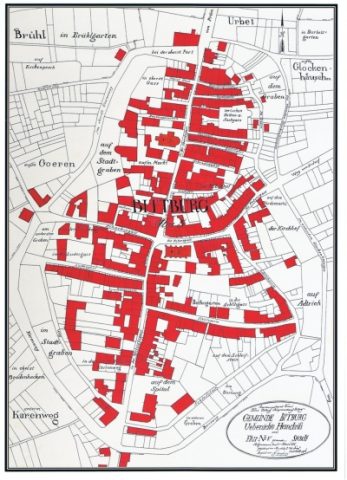
Stadtmodell von Bitburg
 30 m
Field Names
In Kobenhof
40 m
Field Names
Aufm Markt
 60 m
Catholic Churches
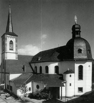
Liebfrauen
 60 m
Works of Art
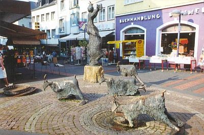
Gässestrepper-Brunnen
Burial Mounds