Deserted Settlements · Gothic
Wüstung Rode


Description
This description is only available in German.
Translate with Google opens this page in Google Translate (external service)
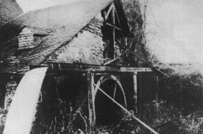
1237: Die Rot-Mühle an der Lieser und der Hof Zo dem rode. [1]
Classification
- Subject area
- Archaeological Monuments
- Category
- Settlements
- Object type
- Deserted Settlements
- Date
- 1237
- Period
- Gothic
Location
- District
- Bernkastel-Wittlich
- Collective municipality
- Verbandsfreie Gemeinde Wittlich
- Town
- Wittlich
- Locality / location
- Wengerohr
- Street
- Rotmühle
- Field name
- Bei der Rotmühle
- Coordinates
- WGS 84: 49.965685, 6.923211 (Position: exact) WGS 84: 49° 57′ 56.5″ N, 6° 55′ 23.6″ E UTM 32 (ETRS89): E 351062 · N 5536883
Sources
Data sources
- [1] Janssen, W.: Studien zur Wüstungsfrage im fränkischen Altsiedelland zwischen Rhein, Mosel und Eifelnordrand. 2 Bände. Text u. Katalog, 1975.
On the internet
Picture credits
Last edited: 3 Dec 2007 Object ID: 112
https://kulturdb.de/en/objekt/112-wittlich-wuestung-rode
Nearby
The nearest objects
 40 m
Mills
Rotmühle am Mühlenteich
No picture
180 m
Field Names
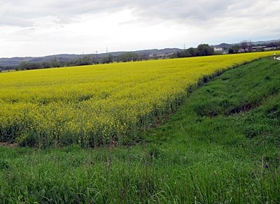
Bei der Rothmühle
 440 m
Field Names
Ober der Rothmühle
No picture
440 m
Field Names
Im Rotherflur
No picture
500 m
Field Names
Im Rothergarten
No picture
610 m
Field Names
Unterm Brühlborn
No picture
720 m
Field Names
In der Aspel
No picture
770 m
Field Names