Farmhouses and Farm Buildings · Baroque / Rococo
Wohnhaus
- Listed monument


© GeoBasis-DE / LVermGeoRP, dl-de/by-2-0
There is no picture of this object yet. Do you have a photo that you would like to make available to the Kulturdatenbank? Submit a picture
Description
This description is only available in German.
Translate with Google opens this page in Google Translate (external service)
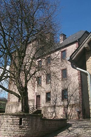
Das auf dem Türsturz auf 1740 datierte Wohnhaus wurde im 19. Jahrhundert unter anderem durch Einbrechen großer Rechteckfenster verändert. Wohl zur selben Zeit wurde ihm an der rechten Giebelseite ein kleiner Wirtschaftsteil zugefügt.
Ein für Dudeldorf typisches Wohnhaus mit landwirtschaftlichen Nebenerwerb.
Classification
- Subject area
- Architectural and Art Monuments
- Category
- Residential and Farm Buildings
- Object type
- Farmhouses and Farm Buildings
- Date
- 1740
- Period
- Baroque / Rococo
Location
- District
- Eifelkreis Bitburg-Prüm
- Collective municipality
- Bitburger Land
- Municipality
- Dudeldorf
- Street
- Kirchstraße 30
- Field name
- Ortslage
- Coordinates
- WGS 84: 49.974659, 6.637040 (Position: exact) WGS 84: 49° 58′ 28.8″ N, 6° 38′ 13.3″ E UTM 32 (ETRS89): E 330573 · N 5538489
Sources
Data sources
- Homepage der Initiative Region Trier e.V. Sehen & Erleben - Bau-Denkmäler http://www.regiontrier.de/cgi/bin
On the internet
Last edited: 13 Jul 2006 Object ID: 11278
https://kulturdb.de/en/objekt/11278-dudeldorf-wohnhaus
Nearby
The nearest objects
 10 m
Farmhouses and Farm Buildings
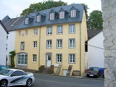
Dreigeschossiges Eckwohnhaus
Street Names
Kirchstraße
 20 m
Prisons
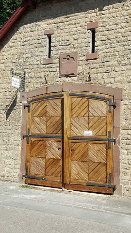
Ehemaliges Spritzenhaus als Arresthaus
 30 m
Catholic Churches
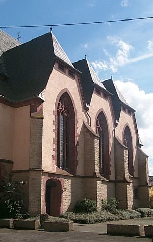
Maria Königin
 30 m
Catholic Churches
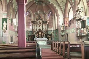
Maria Königin - Ausstattung
Farmhouses and Farm Buildings
Flurküchenhaus
Castles
Burg Dudeldorf - stadtseitiger Torbogen
 40 m
Chestnut Trees