Farmhouses and Farm Buildings · Historicism / Art Nouveau
(Ehemalige) Staatliche Weinbaudomäne

Description
This description is only available in German.
Translate with Google opens this page in Google Translate (external service)
Classification
- Subject area
- Architectural and Art Monuments
- Category
- Residential and Farm Buildings
- Object type
- Farmhouses and Farm Buildings
- Date
- 1904-12
- Creator, builder, architect, artist
- Jaffke (königlicher Landbauinspektor)
Location
- District
- Trier-Saarburg
- Collective municipality
- Saarburg-Kell
- Municipality
- Serrig
- Locality / location
- Domäne
- Field name
- Kammerforst
- Coordinates
- WGS 84: 49.582690, 6.584803 (Position: exact) WGS 84: 49° 34′ 57.7″ N, 6° 35′ 05.3″ E UTM 32 (ETRS89): E 325424 · N 5495036
Sources
Data sources
- [1] Kremb/Lautzas: Landesgeschichtlicher Exkursionsführer Rheinland-Pfalz, Bd.2, 1991; Verlag Arbogast, 6756 Otterbach
- [2] Volksfreund online, von Verena Kerl [https://www.volksfreund.de/region/konz-saarburg-hochwald/moselwinze…], abgerufen am 21.04.2021
On the internet
Picture credits
- Picture 1: © Michael Grün, Trier, 2021.
Last edited: 15 Sep 2022 Object ID: 1129
https://kulturdb.de/en/objekt/1129-serrig-ehemalige-staatliche-weinbaudomaene
Nearby
The nearest objects
 140 m
Railways
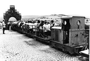
Ehemalige Weinbergsfeldbahn
No picture
280 m
Viewpoints
Aussichtspunkt
No picture
310 m
Vineyard Sites
Wingertsheck
No picture
390 m
Fortresses and Bunkers
Westwall - Schartenstand
No picture
390 m
Vineyard Sites
Vogelsang
No picture
390 m
Vineyard Sites
Unter der Wingertsheck
No picture
420 m
Fortresses and Bunkers
Westwall - Doppelschartenstand
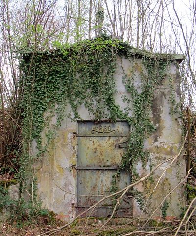 640 m
Waterworks