Farmhouses and Farm Buildings · 20th Century
Scholzenhof
- Listed monument


© GeoBasis-DE / LVermGeoRP, dl-de/by-2-0
There is no picture of this object yet. Do you have a photo that you would like to make available to the Kulturdatenbank? Submit a picture
Description
This description is only available in German.
Translate with Google opens this page in Google Translate (external service)
1932 (Türsturzinschrift) südöstlich des Ortes angelegt. Mit seiner weitgehenden Freistellung des stark städtisch beeinflussten Wohnhauses, das um Gebäudebreite versetzt an den rückwärtigen Wirtschaftstrakt anschließt, weicht das Gehöft vom traditionellen Typ des Quereinhauses ab und bildet damit eine frühe Form des Aussiedlerhofes, die noch lange nach dem Zweiten Weltkrieg verbindlich blieb. Die Einzelformen trotz der späten Entstehungszeit noch ganz historisierend. [1]
Classification
- Subject area
- Architectural and Art Monuments
- Category
- Residential and Farm Buildings
- Object type
- Farmhouses and Farm Buildings
- Date
- 1932
- Period
- 20th Century
Location
- District
- Eifelkreis Bitburg-Prüm
- Collective municipality
- Bitburger Land
- Municipality
- Steinborn
- Locality / location
- Scholzenhof
- Field name
- Ober der Burg
- Coordinates
- WGS 84: 50.064076, 6.630907 (Position: exact) WGS 84: 50° 03′ 50.7″ N, 6° 37′ 51.3″ E UTM 32 (ETRS89): E 330448 · N 5548443
Sources
Data sources
- [1] Denkmaltopographie Bundesrepublik Deutschland, Kulturdenkmäler in Rheinland-Pfalz, Kreis Bitburg-Prüm, 9.1 Wernersche Verlagsgesellschaft 1994. ISBN 3-88462-081-9
On the internet
Last edited: 26 Jul 2006 Object ID: 11328
https://kulturdb.de/en/objekt/11328-steinborn-scholzenhof
Nearby
The nearest objects
Wayside Shrines and Stations of the Cross
Schaftkreuz von 1727
Field Names
Ober der Burg
Field Names
Auf den Stöcken
Field Names
Borngarten
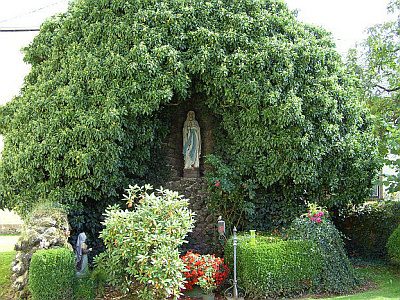 340 m
Marian Grottoes
Lourdes-Mariengrotte
Catholic Churches
Sankt Lambert
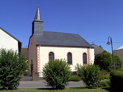 350 m
Catholic Churches
Sankt Hubertus
Farmhouses and Farm Buildings