Settlements · Celtic / Roman Period
Römische Siedlung

Description
This description is only available in German.
Translate with Google opens this page in Google Translate (external service)
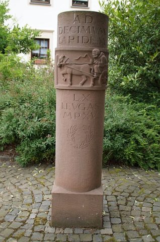
Römische Namengebung: Ad decimum lapidem. Der Name weist auf die Lage der Ortschaft an der römischen Straße zwischen Trier und Mainz (siehe Meilenstein) mit genauer Entfernung zur Stadt Trier hin. [1]
Classification
- Subject area
- Archaeological Monuments
- Category
- Settlements
- Object type
- Settlements
- Date
- Circa 500 vor Chr. bis circa 500 nach Chr.
- Period
- Celtic / Roman Period
Location
- District
- Trier-Saarburg
- Collective municipality
- Schweich an der römischen Weinstraße
- Municipality
- Detzem
- Field name
- Ortslage
- Coordinates
- WGS 84: 49.823627, 6.844595 (Position: within the village) WGS 84: 49° 49′ 25.1″ N, 6° 50′ 40.5″ E UTM 32 (ETRS89): E 344970 · N 5521250
Sources
Data sources
- [1] Kremb/Lautzas: Landesgeschichtlicher Exkursionsführer Rheinland-Pfalz, Bd.2, 1991; Verlag Arbogast, 6756 Otterbach
On the internet
Picture credits
- Picture 1: © Lothar Monshausen, Fotostream http://www.flickr.com/photos/lomo56/tags/meteorite/
Last edited: 7 Oct 2003 Object ID: 1137
https://kulturdb.de/en/objekt/1137-detzem-roemische-siedlung
Nearby
The nearest objects
 30 m
Catering, Inns and Hotels
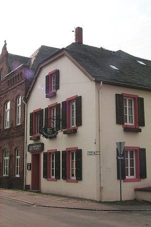
Ehemaliges Gasthaus zum Bahnhof
 50 m
Place Names / Local History
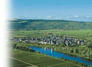
Ortsgeschichte Detzem
 70 m
Wayside Shrines and Stations of the Cross
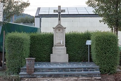
Wegekreuz
Farmhouses and Farm Buildings
Gutshof
Farmhouses and Farm Buildings
Breitgiebelhaus
 110 m
Markers and Monuments
Römischer Meilenstein
 120 m
Wayside Shrines and Stations of the Cross
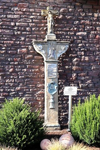
Kreuzigungsbildstock
Farmhouses and Farm Buildings