Farmhouses and Farm Buildings · Renaissance
Hofanlage
- Listed monument


© GeoBasis-DE / LVermGeoRP, dl-de/by-2-0
There is no picture of this object yet. Do you have a photo that you would like to make available to the Kulturdatenbank? Submit a picture
Description
This description is only available in German.
Translate with Google opens this page in Google Translate (external service)
Das Wohnhaus stammt aus dem ausgehenden 18. Jahrhundert. Der Keilstein des Scheunentors ist auf 1780 datiert, der Sturz der zum Stall führenden Tür auf 1609.
Das Haus gehörte dem Maximinischen Meier Peter Heinrich Becker.
Classification
- Subject area
- Architectural and Art Monuments
- Category
- Residential and Farm Buildings
- Object type
- Farmhouses and Farm Buildings
- Date
- 1609
- Period
- Renaissance
Location
- District
- Eifelkreis Bitburg-Prüm
- Collective municipality
- Bitburger Land
- Municipality
- Dudeldorf
- Street
- Hauptstraße 58
- Field name
- Ortslage
- Coordinates
- WGS 84: 49.974124, 6.639487 (Position: exact) WGS 84: 49° 58′ 26.8″ N, 6° 38′ 22.2″ E UTM 32 (ETRS89): E 330746 · N 5538424
Sources
Data sources
- Homepage der Initiative Region Trier e.V. Sehen & Erleben - Bau-Denkmäler http://www.regiontrier.de/cgi/bin
On the internet
Last edited: 25 Sep 2014 Object ID: 11505
https://kulturdb.de/en/objekt/11505-dudeldorf-hofanlage
Nearby
The nearest objects
Town Houses and Commercial Buildings
Kleines Wohnhaus
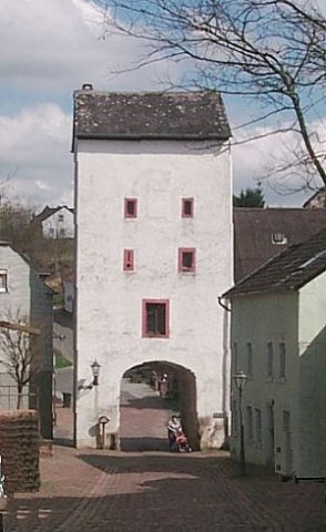 20 m
Town Fortifications
Untertor der Stadtbefestigung
Town Houses and Commercial Buildings
Hofanlage
Farmhouses and Farm Buildings
Giebelwand
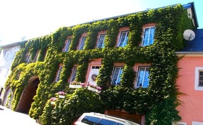 20 m
Farmhouses and Farm Buildings
Fünfachsiges Wohnhaus
Farmhouses and Farm Buildings
Oberlichtportal von 1850
Town Houses and Commercial Buildings
Kleines Handwerkerhäuschen
Mills