Farmhouses and Farm Buildings · Renaissance
Weiherhof
- Listed monument


© GeoBasis-DE / LVermGeoRP, dl-de/by-2-0
There is no picture of this object yet. Do you have a photo that you would like to make available to the Kulturdatenbank? Submit a picture
Description
This description is only available in German.
Translate with Google opens this page in Google Translate (external service)
Die dreiflügelige Hofanlage am Nordrand von Bombogen geht auf einen Lehenshof zurück, der nach Errichtung der benachbarten Neuerburg hier neben Weihern des Schattengrabens im 12. Jahrhundert entstand.
Das gemauerte Wohnhaus [...] dürfte damals im Besitz der Grafen von Kesselstatt gewesen sein, wie das Wappen an der Nordwestecke nahelegt. Die Datierung auf dem Türsturz 1776 bezeichnet wohl ein Umbaudatum.
Ein gemauerter Brunnen seitlich unter einem modernen Anbau. Die Wirtschaftsgebäude mehrfach erweitert. [1]
Classification
- Subject area
- Architectural and Art Monuments
- Category
- Residential and Farm Buildings
- Object type
- Farmhouses and Farm Buildings
- Date
- 17. Jahrhundert
- Period
- Renaissance
Location
- District
- Bernkastel-Wittlich
- Collective municipality
- Verbandsfreie Gemeinde Wittlich
- Town
- Wittlich
- Locality / location
- Neuerburg
- Street
- Hof Straße 2
- Field name
- Ortslage
- Coordinates
- WGS 84: 49.991614, 6.944766 (Position: exact) WGS 84: 49° 59′ 29.8″ N, 6° 56′ 41.2″ E UTM 32 (ETRS89): E 352687 · N 5539722
Sources
Data sources
- [1] Denkmaltopographie Bundesrepublik Deutschland, Kulturdenkmäler in Rheinland-Pfalz, Kreis Bernkastel-Wittlich 4.1 Stadt Wittlich. Schwann ISBN 3-590-31034-0
On the internet
Last edited: 23 Jun 2025 Object ID: 11610
https://kulturdb.de/en/objekt/11610-wittlich-weiherhof
Nearby
The nearest objects
Schools
Grundschule
Wayside Shrine Houses
Heiligenhäuschen
Find Sites
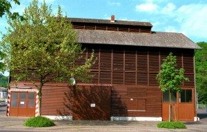
Römische Abfallgrube
 210 m
Extraction and Processing of Raw Materials
Ehemaliger Tabakspeicher
Farmhouses and Farm Buildings
Kleinbäuerliches Wohnhaus
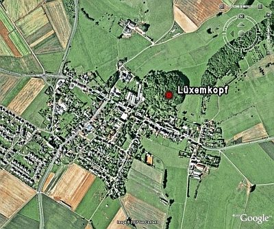 240 m
Volcanoes
Vulkan Lüxemberg
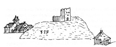 290 m
Farmhouses and Farm Buildings
Scheuerhof
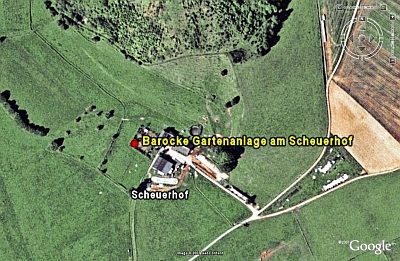 290 m
Baroque Gardens