Street Names · 20th Century
Kyllstraße


Description
This description is only available in German.
Translate with Google opens this page in Google Translate (external service)
Benennungsjahr: 1969, vorher Brückenstraße, davor Brückengasse. Sie führte zu der Anfangs des 14. Jahrhundert von [Kurfürst] Balduin errichteten Kyllbrücke.
Flurname 1335: obenwendich der nuwer brücken. [1]
Classification
- Subject area
- History
- Category
- Place Names / Local History
- Object type
- Street Names
- Date
- 1969
- Period
- 20th Century
Location
- District
- City of Trier
- Collective municipality
- Verbandsfreie Gemeinde Trier
- Town
- Trier
- Locality / location
- Ehrang-Quint
- Street
- Kyllstraße
- Field name
- Auf Brückenflürchen
- Coordinates
- WGS 84: 49.807633, 6.685246 (Position: exact) WGS 84: 49° 48′ 27.5″ N, 6° 41′ 06.9″ E UTM 32 (ETRS89): E 333455 · N 5519813
Sources
Data sources
- [1] Werner Schuhn: Ehrang. Landschaft, Geschichte, Gegenwart. 2 Bände. Trier 1989. Hrsg.: Arbeitsgemeinschaft für Landesgeschichte und Volkskunde des Trierer Raumes.
On the internet
Picture credits
Last edited: 21 Feb 2019 Object ID: 11628
https://kulturdb.de/en/objekt/11628-trier-kyllstrasse
Nearby
The nearest objects
 40 m
Works of Art
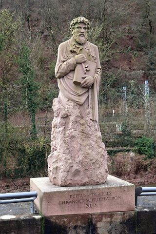
Skulptur des Heiligen Petrus als Brückenheiliger
Street Names
Marienfeldstraße
Ferries
Ehemalige Kyllfähre
Road Transport
Ehemalige Kyllbrücke
 70 m
Market Towns
Marktort Ehrang
Street Names
Marienfeld
 110 m
Hospitals
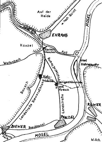
Siechenhäuschen
Town Fortifications