Street Names · Undated
Türkei


© GeoBasis-DE / LVermGeoRP, dl-de/by-2-0
There is no picture of this object yet. Do you have a photo that you would like to make available to the Kulturdatenbank? Submit a picture
Description
This description is only available in German.
Translate with Google opens this page in Google Translate (external service)
Alter nichtamtlicher Name für eine Seitengasse der Niederstraße, benannt nach einer früher dort ansässigen Familie Türk. [1]
Classification
- Subject area
- History
- Category
- Place Names / Local History
- Object type
- Street Names
- Date
- Undatiert
- Period
- Undated
Location
- District
- City of Trier
- Collective municipality
- Verbandsfreie Gemeinde Trier
- Town
- Trier
- Locality / location
- Ehrang-Quint
- Street
- Niederstraße
- Field name
- Ortslage
- Coordinates
- WGS 84: 49.810325, 6.685432 (Position: exact) WGS 84: 49° 48′ 37.2″ N, 6° 41′ 07.6″ E UTM 32 (ETRS89): E 333478 · N 5520112
Sources
Data sources
- [1] Werner Schuhn: Ehrang. Landschaft, Geschichte, Gegenwart. 2 Bände. Trier 1989. Hrsg.: Arbeitsgemeinschaft für Landesgeschichte und Volkskunde des Trierer Raumes.
- [2] Ehrang Ortszentrum -Straßenkarte- gezeichnet von Hein H. Grundhöfer. In: Ehranger Heimat, Neuauflage. Band 6: Jahrgänge 1969-1972.
- [3] Karte 'Ehrang im Bereich Kyllstraße, Spieles, Niederstraße', von Werner Schuhn, 1972. In: Neues Trierisches Jahrbuch 1973.
On the internet
Last edited: 5 Sep 2022 Object ID: 11634
https://kulturdb.de/en/objekt/11634-trier-tuerkei
Nearby
The nearest objects
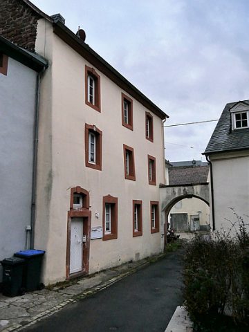 30 m
Town Houses and Commercial Buildings
Dreigeschossiges Wohnhaus
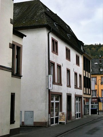 40 m
Town Houses and Commercial Buildings
Eckwohn- und Geschäftshaus
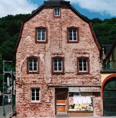 50 m
Town Houses and Commercial Buildings
Haus Briel
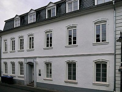 50 m
Town Houses and Commercial Buildings
Siebenachsiges Wohnhaus
 50 m
Town Houses and Commercial Buildings
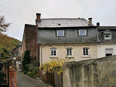
Mansarddachbau mit Wirtschaftsteil
 70 m
Place Names / Local History
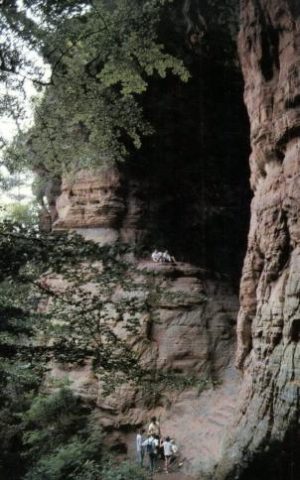
Gründungssage
 70 m
Chartered Towns
Stadtrechte Ehrang
Courthouses