Place Names / Local History · Baroque / Rococo
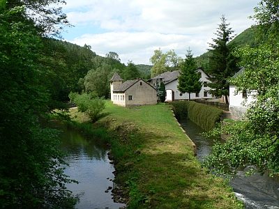
Deimlinger Mühle


Description
This description is only available in German.
Translate with Google opens this page in Google Translate (external service)
Eine Karte der Herrschaft Bruch aus dem 18. Jahrhundert verzeichnet die Siedlung als "Deumlingen" und Georg Barsch nennt sie 1854 "Daumlingermühle". [1]
Classification
- Subject area
- History
- Category
- Place Names / Local History
- Date
- Circa 1700 bis circa 1780
- Period
- Baroque / Rococo
Location
- District
- Trier-Saarburg
- Collective municipality
- Trier-Land
- Municipality
- Zemmer
- Locality / location
- Deimlinger Mühle
- Field name
- Die Rödelwies
- Coordinates
- WGS 84: 49.865699, 6.643937 (Position: exact) WGS 84: 49° 51′ 56.5″ N, 6° 38′ 38.2″ E UTM 32 (ETRS89): E 330686 · N 5526361
Sources
Data sources
- [1] Gerten, Wisniewski, Höster: Die Kyll-Geschichte und Geschichten um einen Eifeler Wasserlauf. Hrsg.: Bernd Spindler, Verbandsgemeinde Kyllburg, Oktober 2006.
On the internet
Picture credits
Last edited: 10 Jul 2018 Object ID: 11706
https://kulturdb.de/en/objekt/11706-zemmer-deimlinger-muehle
Nearby
The nearest objects
 40 m
Mills
Deimlinger Mühle im Kylltal
 170 m
Field Names
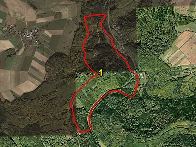
Hinter dem Wehr
Extraction and Processing of Raw Materials
Ehemaliger Steinbruch
 210 m
Wayside Shrines and Stations of the Cross
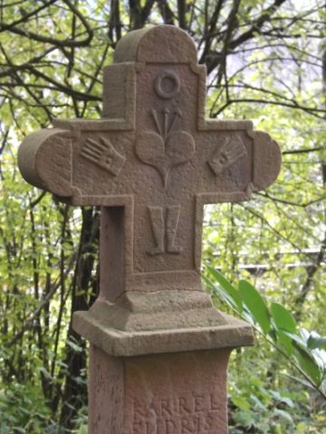
Sogenanntes Endries-Kreuz
Extraction and Processing of Raw Materials
Ehemaliger Steinbruch
Extraction and Processing of Raw Materials
Ehemaliger Steinbruch
250 m
Field Names
Im Brückenfeld
 270 m
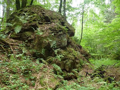
Extraction and Processing of Raw Materials