Surveying · Undated
Trigonometrischer Punkt "Naumeter Kupp"


Description
This description is only available in German.
Translate with Google opens this page in Google Translate (external service)
Trigonometrischer Punkt bei der "Naumeter Kupp" auf 334,1 Meter über NHN. [1]
Classification
- Subject area
- Architectural and Art Monuments
- Category
- Markers and Monuments
- Object type
- Surveying
- Date
- Undatiert
- Period
- Undated
Location
- District
- City of Trier
- Collective municipality
- Verbandsfreie Gemeinde Trier
- Town
- Trier
- Locality / location
- Tarforst
- Field name
- In der Ruwer
- Coordinates
- WGS 84: 49.739033, 6.738501 (Position: exact) WGS 84: 49° 44′ 20.5″ N, 6° 44′ 18.6″ E UTM 32 (ETRS89): E 337056 · N 5512070
Sources
Data sources
- [1] RP DTK25 (https://geo4.service24.rlp.de/client/lf/lawa/#zoom=16&lat=49.739173…) - abgerufen am 25.11.2020
On the internet
geo4.service24.rlp.de/client/lf/lawa
Picture credits
Last edited: 25 Nov 2020 Object ID: 11709
https://kulturdb.de/en/objekt/11709-trier-trigonometrischer-punkt-naumeter-kupp
Nearby
The nearest objects
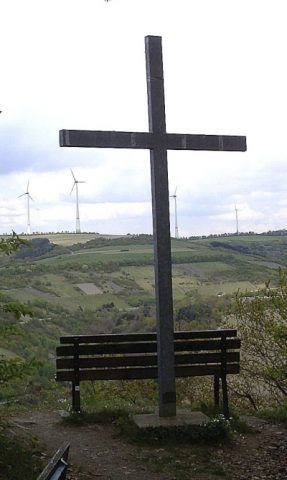 20 m
Wayside Shrines and Stations of the Cross
Unglückskreuz auf der Naumeter Kupp
 140 m
Castles
Fliehburg auf dem Naumeter Kopf
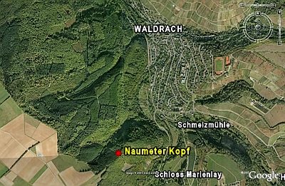 150 m
Spur Castles
Naumeter Kopf
Vineyard Sites
Andreasberg
Vineyard Sites
Andreasberg
Deserted Settlements
Ehemalige Siedlung In Pätsch
Field Names
Auf Schäfersbungert
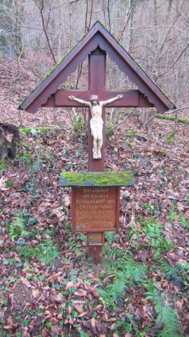 430 m
Wayside Shrines and Stations of the Cross