Chapels · 20th Century
Friedhofskapelle
- Listed monument


© GeoBasis-DE / LVermGeoRP, dl-de/by-2-0
There is no picture of this object yet. Do you have a photo that you would like to make available to the Kulturdatenbank? Submit a picture
Description
This description is only available in German.
Translate with Google opens this page in Google Translate (external service)
Westlich des sagenhaften Turmes befindet sich am Rand des alten Friedhofs eine imposante, breit angelegte Friedhofskapelle. [1]
Classification
- Subject area
- Architectural and Art Monuments
- Category
- Religious Buildings
- Object type
- Chapels
- Date
- 1976
- Period
- 20th Century
Location
- District
- Eifelkreis Bitburg-Prüm
- Collective municipality
- Speicher
- Municipality
- Preist
- Street
- Schulstraße
- Field name
- Bei der Kirch
- Coordinates
- WGS 84: 49.903471, 6.628933 (Position: exact) WGS 84: 49° 54′ 12.5″ N, 6° 37′ 44.2″ E UTM 32 (ETRS89): E 329741 · N 5530594
Sources
Data sources
- [1] Reuter, Thömmes: Die Fidei. Band 2. Hrsg.: Arbeitskreis für Heimatgeschichte und Literatur im Eifelverein e.V. / Ortsgruppe Speicher. 2006
On the internet
Last edited: 1 Jan 2007 Object ID: 11714
https://kulturdb.de/en/objekt/11714-preist-friedhofskapelle
Nearby
The nearest objects
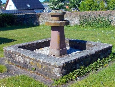 10 m
Fountains and Wells
Brunnen am Friedhof
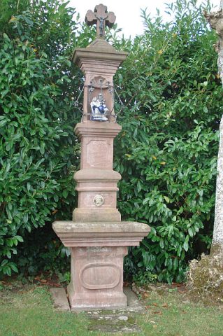 20 m
War Memorials
Friedhofskreuz
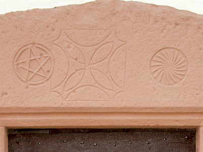 40 m
Chapels
Kirchturm der ehemaligen Cäcilienkapelle - Zeichen
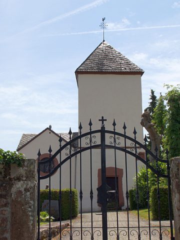 40 m
Chapels
Kirchturm der ehemaligen Cäcilienkapelle
 60 m
Burial Sites
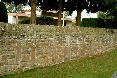
Grabkreuze in der Friedhofsmauer
 100 m
Wayside Shrines and Stations of the Cross
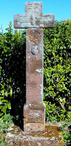
Schneiderskreuz
 170 m
Schools
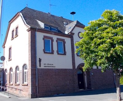
Schulhaus
Field Names