Chapels · 20th Century
Antonius-Kapellchen


© GeoBasis-DE / LVermGeoRP, dl-de/by-2-0
There is no picture of this object yet. Do you have a photo that you would like to make available to the Kulturdatenbank? Submit a picture
Description
This description is only available in German.
Translate with Google opens this page in Google Translate (external service)
Im Oberdorf wurde 1948 am Dorfausgang nach Daleiden von Familie Jakob Müller das Antoniuskapellchen unter einer mächtigen Zeder errichtet. [1]
Classification
- Subject area
- Architectural and Art Monuments
- Category
- Religious Buildings
- Object type
- Chapels
- Date
- 1948
- Period
- 20th Century
Location
- District
- Eifelkreis Bitburg-Prüm
- Collective municipality
- Arzfeld
- Municipality
- Dahnen
- Street
- Daleidener Straße
- Field name
- Aufm Pesch
- Coordinates
- WGS 84: 50.073639, 6.150901 (Position: exact) WGS 84: 50° 04′ 25.1″ N, 6° 09′ 03.2″ E UTM 32 (ETRS89): E 296140 · N 5550707
Sources
Data sources
- [1] Rund um die Kirche im Dorf - Kirchen und Kapellen der Westeifel. Hrsg. Geschichtsverein Prümer Land, Prüm, 2004. ISBN: 3-931478-14-9 http://www.gvpl.de/
On the internet
Last edited: 25 Jan 2007 Object ID: 11899
https://kulturdb.de/en/objekt/11899-dahnen-antonius-kapellchen
Nearby
The nearest objects
Wayside Shrines and Stations of the Cross
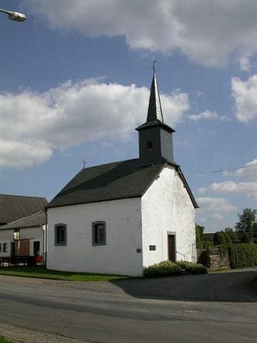
Wegekreuz
 190 m
Chapels
Sankt Kosmas und Sankt Damian
Chapels
Ehemalige Pestkapelle
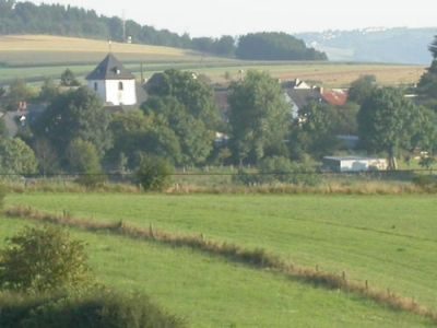 370 m
Place Names / Local History
Erste Erwähnung als Doynden
 370 m
Coats of Arms
Wappen der Gemeinde Dahnen
Farmhouses and Farm Buildings
Ehemaliges Stockgut Reipisch
Field Names
Bei der Kehrwies
 420 m
Fortresses and Bunkers