Settlements · Celtic / Roman Period
Römische Siedlungsstelle

Description
This description is only available in German.
Translate with Google opens this page in Google Translate (external service)
Fundstelle 66
Römische Siedlungsstelle nordwestlich von Dodenburg auf relativ steilem Ost-Hang. Steinhausen erwähnt "die üblichen Siedlungsreste auf anscheinend kleinerem Raum".
Steinhausen 1932, 76
in: Römisch-Germanische Forschungen, Bd. 63. Eisenzeitlicher Kulturwandel und Romanisierung im Mosel-Eifel-Raum. Die keltisch-römische Siedlung von Wallendorf und ihr archäologisches Umfeld. Römisch-Germanische Kommission des Deutschen Archäologischen Instituts Frankfurt a. M. Fundstellenkatalog von: Dirk L. Krausse unter Mitarbeit von Antje Fischbock. 2006
Classification
- Subject area
- Archaeological Monuments
- Category
- Settlements
- Object type
- Settlements
- Date
- Circa 500 vor Chr. bis circa 500 nach Chr.
- Period
- Celtic / Roman Period
Location
- District
- Bernkastel-Wittlich
- Collective municipality
- Wittlich-Land
- Municipality
- Dodenburg
- Field name
- In Balz
- Coordinates
- WGS 84: 49.925261, 6.769334 (Position: exact) WGS 84: 49° 55′ 30.9″ N, 6° 46′ 09.6″ E UTM 32 (ETRS89): E 339894 · N 5532706
Sources
Data sources
- Fundstellenkatalog: Die keltisch-römische Siedlung von Wallendorf und ihr archäologisches Umfeld. Dirk L. Krausse unter Mitarbeit von Antje Fischbock. 2006
On the internet
dainst.org/medien/de/krausse.pdf
Picture credits
- Picture 1: © Lothar Monshausen, Fotostream http://www.flickr.com/photos/lomo56/tags/meteorite/
Last edited: 1 Feb 2012 Object ID: 11922
https://kulturdb.de/en/objekt/11922-dodenburg-roemische-siedlungsstelle
Nearby
The nearest objects
Cremation Graves
Römisches Brandgrab
Field Names
Aufm Goldberg
Wayside Shrines and Stations of the Cross
Wegekreuz
 360 m
Deserted Settlements
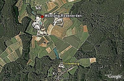
Wüstung Rodenerden
Wayside Shrines and Stations of the Cross
Wegekreuz am Sauerberg
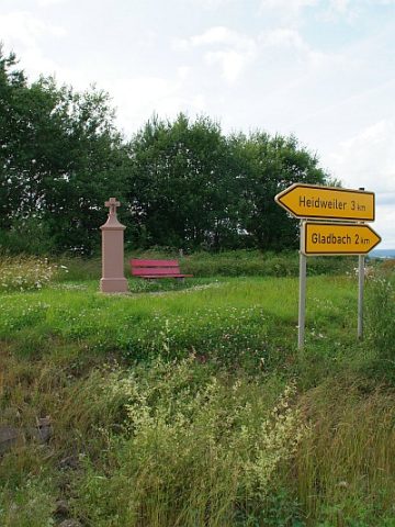 530 m
Wayside Shrines and Stations of the Cross
Bielenkreuz am Weg nach Gladbach
Field Names
Auf der Held
Field Names