Find Sites · Celtic / Roman Period
Altes Gemäuer
Nördlich Neuenhof


© GeoBasis-DE / LVermGeoRP, dl-de/by-2-0
There is no picture of this object yet. Do you have a photo that you would like to make available to the Kulturdatenbank? Submit a picture
Description
This description is only available in German.
Translate with Google opens this page in Google Translate (external service)
Fundstelle 3
Südlich von Altrich, dicht nördlich des Neuenhofs, verzeichnet die Fundstellenkarte des Rheinischen Landesmuseums Trier ein "altes Gemäuer". Die Stelle liegt an der Trasse der römischen Straße. Keine genaueren Angaben vorliegend.
in: Römisch-Germanische Forschungen, Bd. 63. Eisenzeitlicher Kulturwandel und Romanisierung im Mosel-Eifel-Raum. Die keltisch-römische Siedlung von Wallendorf und ihr archäologisches Umfeld. Römisch-Germanische Kommission des Deutschen Archäologischen Instituts Frankfurt a. M. Fundstellenkatalog von: Dirk L. Krausse unter Mitarbeit von Antje Fischbock. 2006
Classification
- Subject area
- Archaeological Monuments
- Category
- Settlements
- Object type
- Find Sites
- Date
- Circa 500 vor Chr. bis circa 500 nach Chr.
- Period
- Celtic / Roman Period
Location
- District
- Bernkastel-Wittlich
- Collective municipality
- Wittlich-Land
- Municipality
- Altrich
- Locality / location
- Neuenhof
- Field name
- Auf dem Schlimmen Graben
- Coordinates
- WGS 84: 49.947072, 6.913332 (Position: exact) WGS 84: 49° 56′ 49.5″ N, 6° 54′ 48.0″ E UTM 32 (ETRS89): E 350296 · N 5534833
Sources
Data sources
- - Fundstellenkatalog: Die keltisch-römische Siedlung von Wallendorf und ihr archäologisches Umfeld. Dirk L. Krausse unter Mitarbeit von Antje Fischbock, 2006.
- - Dirk Krausse: Eisenzeitlicher Kulturwandel und Romanisierung im Mosel-Eifel-Raum. Verlag: Philipp von Zabern, Mainz, 2006. Beilage 1.
On the internet
Last edited: 26 Jan 2012 Object ID: 12129
https://kulturdb.de/en/objekt/12129-altrich-altes-gemaeuer
Nearby
The nearest objects
Settlements
Römische Mauerreste bei Gut Neuenhof
Chapels
Kapelle am Neuenhof
 480 m
Road Transport
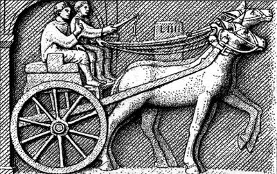
Römerstraße
Field Names
Sauerwiese
Field Names
Auf dem untersten Pfeffersrech
Field Names
Die vorderste Staudt
Farmhouses and Farm Buildings
Stallscheune
 1.0 km
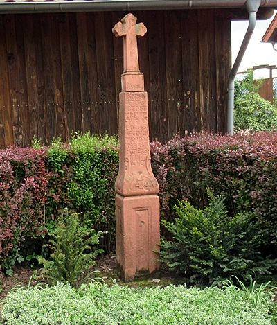
Wayside Shrines and Stations of the Cross