Burial Mounds · Undated
Grabhügelgruppe
- Listed monument


© GeoBasis-DE / LVermGeoRP, dl-de/by-2-0
There is no picture of this object yet. Do you have a photo that you would like to make available to the Kulturdatenbank? Submit a picture
Description
This description is only available in German.
Translate with Google opens this page in Google Translate (external service)
Fundstelle 25,
Gruppe von 10-15 Grabhügeln unbekannter Zeitstellung nordnordwestlich von Bengel, wenig nördlich der wahrscheinlich römischen Kondelstraße.
Trierer Zeitschrift für Geschichte und Kunst des Trierer Landes und seiner Nachbargebiete 40/41, 1977/78, 374
in: Römisch-Germanische Forschungen, Bd. 63. Eisenzeitlicher Kulturwandel und Romanisierung im Mosel-Eifel-Raum. Die keltisch-römische Siedlung von Wallendorf und ihr archäologisches Umfeld. Römisch-Germanische Kommission des Deutschen Archäologischen Instituts Frankfurt a. M. Fundstellenkatalog von: Dirk L. Krausse unter Mitarbeit von Antje Fischbock. 2006.
Classification
- Subject area
- Archaeological Monuments
- Category
- Burials
- Object type
- Burial Mounds
- Date
- Undatiert
- Period
- Undated
Location
- District
- Bernkastel-Wittlich
- Collective municipality
- Traben-Trarbach
- Municipality
- Bengel
- Field name
- Kondelwald
- Coordinates
- WGS 84: 50.045297, 7.035172 (Position: exact) WGS 84: 50° 02′ 43.1″ N, 7° 02′ 06.6″ E UTM 32 (ETRS89): E 359324 · N 5545516
Sources
Data sources
- - Fundstellenkatalog: Die keltisch-römische Siedlung von Wallendorf und ihr archäologisches Umfeld. Dirk L. Krausse unter Mitarbeit von Antje Fischbock, 2006.
- - Dirk Krausse: Eisenzeitlicher Kulturwandel und Romanisierung im Mosel-Eifel-Raum. Verlag: Philipp von Zabern, Mainz, 2006. Beilage 1.
On the internet
Last edited: 26 Jan 2012 Object ID: 12168
https://kulturdb.de/en/objekt/12168-bengel-grabhuegelgruppe
Nearby
The nearest objects
Surveying
Trigonometrisches Signal Rödelheck
 480 m
Settlements
Römische Siedlungsstelle
Street Names
Kegelbahn
 850 m
Wayside Shrines and Stations of the Cross
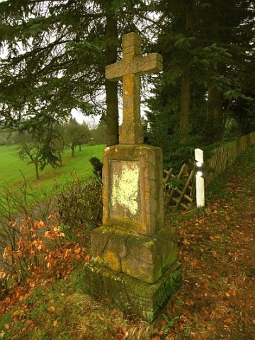
Wegekreuz am Ortseingang
Viewpoints
Aussichtspunkt Antoniushof
 870 m
Chapels
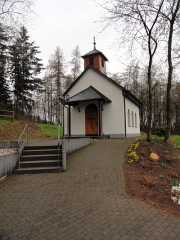
Marienkapelle am Ortsrand
Vineyard Sites
In der Wingertshell
Wayside Shrines and Stations of the Cross