Castles · Gothic
Burgruine Besch auch Steinbesch


© GeoBasis-DE / LVermGeoRP, dl-de/by-2-0
There is no picture of this object yet. Do you have a photo that you would like to make available to the Kulturdatenbank? Submit a picture
Description
This description is only available in German.
Translate with Google opens this page in Google Translate (external service)
Kleine Burganlage. Vielleicht Stammsitz der Familie von Beche. Bereits Anfang 13. Jahrhundert im Güterverzeichnis der Abtei Sankt Maximin erwähnt. [1]
Classification
- Subject area
- Architectural and Art Monuments
- Object type
- Castles
- Date
- Circa 1100 bis circa 1500
- Period
- Gothic
Location
- District
- Trier-Saarburg
- Collective municipality
- Trier-Land
- Municipality
- Ralingen
- Field name
- In der Burg
- Coordinates
- WGS 84: 49.821061, 6.530240 (Position: exact) WGS 84: 49° 49′ 15.8″ N, 6° 31′ 48.9″ E UTM 32 (ETRS89): E 322353 · N 5521662
Sources
Data sources
- [1] Janssen, W.: Studien zur Wüstungsfrage im fränkischen Altsiedelland zwischen Rhein, Mosel und Eifelnordrand. 2 Bände. Text u. Katalog, 1975.
On the internet
Last edited: 17 Jun 2020 Object ID: 1229
https://kulturdb.de/en/objekt/1229-ralingen-burgruine-besch-auch-steinbesch
Nearby
The nearest objects
Fortresses and Bunkers
Westwall - Maschinengewehr-Doppelschartenstand
Mills
Georgsmühle am Mühlenbach
Field Names
Beim Ritterborn
Field Names
Auf der Kehr
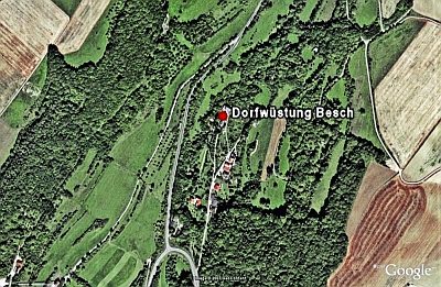 240 m
Deserted Settlements
Dorfwüstung Besch
Deserted Settlements
Dorfwüstung Dischelt
Field Names
Wittumsbach
Mills