Settlements · Celtic / Roman Period
Römische Siedlungsstelle


© GeoBasis-DE / LVermGeoRP, dl-de/by-2-0
There is no picture of this object yet. Do you have a photo that you would like to make available to the Kulturdatenbank? Submit a picture
Description
This description is only available in German.
Translate with Google opens this page in Google Translate (external service)
Fundstelle 817
Von Steinhausen beschriebene ausgedehnte (ca. 200 x 100 m) römische Siedlungsstelle nordnordwestlich von Prümzurlay, auf West-Hang des Prümtales gelegen. Im Gelände zeichnen sich angeblich mehrere Gebäude ab. Es wurden Mauerreste und zwei Säulenfragmente freigelegt.
Steinhausen 1932, 260
in: Römisch-Germanische Forschungen, Bd. 63. Eisenzeitlicher Kulturwandel und Romanisierung im Mosel-Eifel-Raum. Die keltisch-römische Siedlung von Wallendorf und ihr archäologisches Umfeld. Römisch-Germanische Kommission des Deutschen Archäologischen Instituts Frankfurt a. M. Fundstellenkatalog von: Dirk L. Krausse unter Mitarbeit von Antje Fischbock. 2006.
Classification
- Subject area
- Archaeological Monuments
- Category
- Settlements
- Object type
- Settlements
- Date
- Circa 500 vor Chr. bis circa 500 nach Chr.
- Period
- Celtic / Roman Period
Location
- District
- Eifelkreis Bitburg-Prüm
- Collective municipality
- Südeifel
- Municipality
- Prümzurlay
- Field name
- In der Mausebach
- Coordinates
- WGS 84: 49.877300, 6.436079 (Position: exact) WGS 84: 49° 52′ 38.3″ N, 6° 26′ 09.9″ E UTM 32 (ETRS89): E 315794 · N 5528141
Sources
Data sources
- - Fundstellenkatalog: Die keltisch-römische Siedlung von Wallendorf und ihr archäologisches Umfeld. Dirk L. Krausse unter Mitarbeit von Antje Fischbock, 2006.
- - Dirk Krausse: Eisenzeitlicher Kulturwandel und Romanisierung im Mosel-Eifel-Raum. Verlag: Philipp von Zabern, Mainz, 2006. Beilage 1.
On the internet
Last edited: 6 Feb 2012 Object ID: 12306
https://kulturdb.de/en/objekt/12306-pruemzurlay-roemische-siedlungsstelle
Nearby
The nearest objects
Field Names
Hinter dem Bungert
 440 m
Settlements
Römische Siedlungsstelle
Field Names
In der Acht
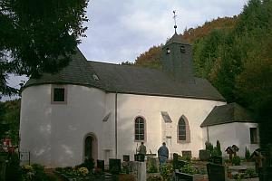 800 m
Catholic Churches
Sankt Nikolaus
 820 m
Town Houses and Commercial Buildings
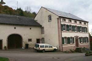
Wohnhaus
Field Names
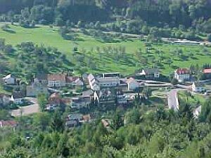
Im Kirchberg
 920 m
Coats of Arms
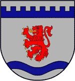
Wappen der Gemeinde Prümzurlay
 920 m
Place Names / Local History