Burial Mounds · Undated
Grabhügelgruppe
Gemeindewald
- Listed monument


© GeoBasis-DE / LVermGeoRP, dl-de/by-2-0
There is no picture of this object yet. Do you have a photo that you would like to make available to the Kulturdatenbank? Submit a picture
Description
This description is only available in German.
Translate with Google opens this page in Google Translate (external service)
Fundstelle 232
Gruppe von vier Grabhügeln unbekannter Zeitstellung südöstlich von Salmrohr, dicht nordwestlich der ins Meßtischblatt eingetragenen Römerstraße. Die relativ großen Grabhügel sind stark verschliffen.
Trierer Zeitschrift für Geschichte und Kunst des Trierer Landes und seiner Nachbargebiete 37, 1974, 264
in: Römisch-Germanische Forschungen, Bd. 63. Eisenzeitlicher Kulturwandel und Romanisierung im Mosel-Eifel-Raum. Die keltisch-römische Siedlung von Wallendorf und ihr archäologisches Umfeld. Römisch-Germanische Kommission des Deutschen Archäologischen Instituts Frankfurt a. M. Fundstellenkatalog von: Dirk L. Krausse unter Mitarbeit von Antje Fischbock. 2006
Classification
- Subject area
- Archaeological Monuments
- Category
- Burials
- Object type
- Burial Mounds
- Date
- Undatiert
- Period
- Undated
Location
- District
- Bernkastel-Wittlich
- Collective municipality
- Wittlich-Land
- Municipality
- Salmtal
- Locality / location
- Salmrohr
- Field name
- Im Hauen
- Coordinates
- WGS 84: 49.920879, 6.871209 (Position: exact) WGS 84: 49° 55′ 15.2″ N, 6° 52′ 16.4″ E UTM 32 (ETRS89): E 347192 · N 5532006
Sources
Data sources
- - Fundstellenkatalog: Die keltisch-römische Siedlung von Wallendorf und ihr archäologisches Umfeld. Dirk L. Krausse unter Mitarbeit von Antje Fischbock, 2006.
- - Dirk Krausse: Eisenzeitlicher Kulturwandel und Romanisierung im Mosel-Eifel-Raum. Verlag: Philipp von Zabern, Mainz, 2006. Beilage 1.
On the internet
Last edited: 26 Jan 2012 Object ID: 12311
https://kulturdb.de/en/objekt/12311-salmtal-grabhuegelgruppe
Nearby
The nearest objects
Field Names
Vor dem Gebrannten Heid
Wayside Shrines and Stations of the Cross
Wegekreuz
Field Names
Im Brückpesch
Field Names
Im Bornflurberg
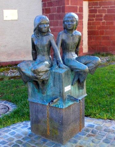 780 m
Works of Art
Dorfbrunnen in Pohlbach
Field Names
Im Bornflur
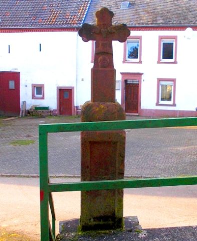 790 m
Wayside Shrines and Stations of the Cross
Schaftkreuz Zum Rosenthälchen 3/3 A
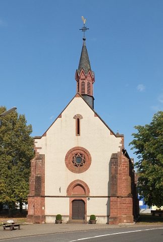 800 m
Catholic Churches