Ironworks · Gothic
Eisenschmelze
Wüstung

Description
This description is only available in German.
Translate with Google opens this page in Google Translate (external service)
Hinter der First. Hier fanden sich große Schlackenhalden der mittelalterlichen Eisenverhüttung. [1]
Classification
- Subject area
- Archaeological Monuments
- Category
- Economy, Trade and Transport
- Object type
- Ironworks
- Date
- Circa 1100 bis circa 1500
- Period
- Gothic
Location
- District
- Trier-Saarburg
- Collective municipality
- Trier-Land
- Municipality
- Zemmer
- Locality / location
- Schleidweiler-Rodt
- Field name
- Auf dem Heiligenhäuschenflur
- Coordinates
- WGS 84: 49.887467, 6.659687 (Position: presumed) WGS 84: 49° 53′ 14.9″ N, 6° 39′ 34.9″ E UTM 32 (ETRS89): E 331893 · N 5528745
Sources
Data sources
- [1] Janssen, W.: Studien zur Wüstungsfrage im fränkischen Altsiedelland zwischen Rhein, Mosel und Eifelnordrand. 2 Bände. Text u. Katalog, 1975.
On the internet
Picture credits
- Picture 1: Internet
Last edited: 20 Apr 2014 Object ID: 1242
https://kulturdb.de/en/objekt/1242-zemmer-eisenschmelze
Nearby
The nearest objects
Settlements
Römische Siedlung
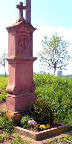 130 m
Wayside Shrines and Stations of the Cross
Stationenweg zur Kreuzkapelle - 14. Station
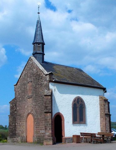 140 m
Pilgrimage Sites
Kreuzkapelle
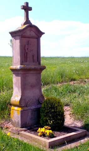 150 m
Wayside Shrines and Stations of the Cross
Stationenweg zur Kreuzkapelle - 13. Station
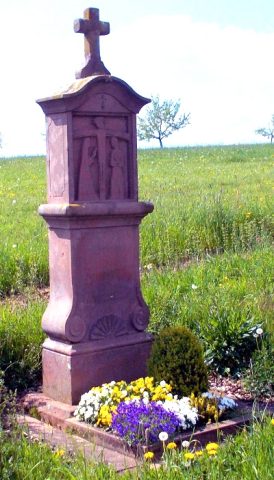 170 m
Wayside Shrines and Stations of the Cross
Stationenweg zur Kreuzkapelle - 12. Station
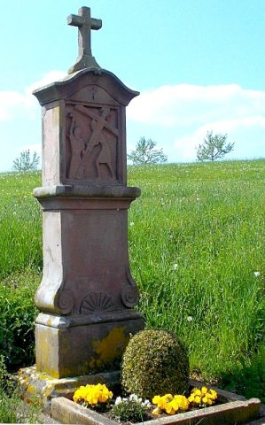 200 m
Wayside Shrines and Stations of the Cross
Stationenweg zur Kreuzkapelle - 11. Station
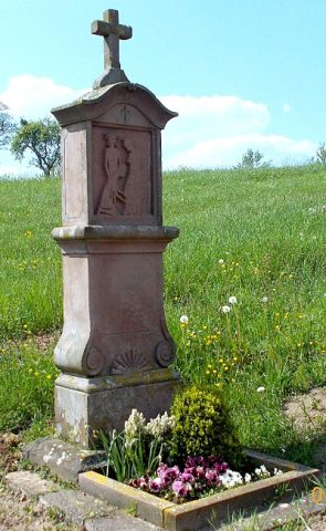 220 m
Wayside Shrines and Stations of the Cross
Stationenweg zur Kreuzkapelle - 10. Station
Temples, Sanctuaries