Burial Mounds · Undated
Reste eines Tumulus
- Listed monument


© GeoBasis-DE / LVermGeoRP, dl-de/by-2-0
There is no picture of this object yet. Do you have a photo that you would like to make available to the Kulturdatenbank? Submit a picture
Description
This description is only available in German.
Translate with Google opens this page in Google Translate (external service)
Fundstelle 1436
Auf dem höchsten Punkt der südöstlich von Butzweiler gelegenen Höhe "Dackenheid" wurden im 19. Jahrhundert die Reste eines Tumulus unbekannter Zeitstellung beobachtet.
Steinhausen 1932, 69; Carte archéologique du Grand-Duché de Luxembourg 14, 1985, 66 Nr. 21
in: Römisch-Germanische Forschungen, Bd. 63. Eisenzeitlicher Kulturwandel und Romanisierung im Mosel-Eifel-Raum. Die keltisch-römische Siedlung von Wallendorf und ihr archäologisches Umfeld. Römisch-Germanische Kommission des Deutschen Archäologischen Instituts Frankfurt a. M. Fundstellenkatalog von: Dirk L. Krausse unter Mitarbeit von Antje Fischbock. 2006
Classification
- Subject area
- Archaeological Monuments
- Category
- Burials
- Object type
- Burial Mounds
- Date
- Undatiert
- Period
- Undated
Location
- District
- Trier-Saarburg
- Collective municipality
- Trier-Land
- Municipality
- Newel
- Locality / location
- Butzweiler
- Field name
- Hinter Dackenheid beim Palzerweg
- Coordinates
- WGS 84: 49.808542, 6.628550 (Position: exact) WGS 84: 49° 48′ 30.8″ N, 6° 37′ 42.8″ E UTM 32 (ETRS89): E 329379 · N 5520042
Sources
Data sources
- - Fundstellenkatalog: Die keltisch-römische Siedlung von Wallendorf und ihr archäologisches Umfeld. Dirk L. Krausse unter Mitarbeit von Antje Fischbock, 2006.
- - Dirk Krausse: Eisenzeitlicher Kulturwandel und Romanisierung im Mosel-Eifel-Raum. Verlag: Philipp von Zabern, Mainz, 2006. Beilage 1.
On the internet
Last edited: 16 Nov 2011 Object ID: 12721
https://kulturdb.de/en/objekt/12721-newel-reste-eines-tumulus
Nearby
The nearest objects
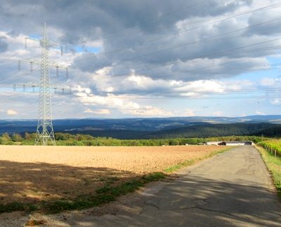 90 m
Viewpoints
Aussichtspunkt Dackenheid
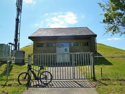 130 m
Water Supply
Wasserhochbehälter Dackenheid
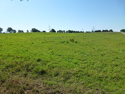 170 m
Field Names
Auf Dackenheid
Execution Sites
Gewann Gericht
Field Names
Im Daumer
Field Names
Bei dem Gericht
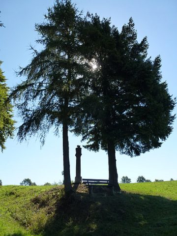 370 m
Wayside Shrines and Stations of the Cross
Rundpfeiler mit Vesperbild
370 m
Viewpoints