Standing Stones, Menhirs · Prehistory / Early History
Fraglicher Menhir


© GeoBasis-DE / LVermGeoRP, dl-de/by-2-0
There is no picture of this object yet. Do you have a photo that you would like to make available to the Kulturdatenbank? Submit a picture
Description
This description is only available in German.
Translate with Google opens this page in Google Translate (external service)
[...] Nur einmal mit einer Position "500 m südwestlich des Frabillenkreuzes" ist ein Menhir durch die Formulierung Steiners (1930, 167)
[...]
Darüber hinaus ist auch in späteren Übersichtskärtchen von Steiner (1932 Abb. 12) kein entsprechender Eintrag 500m südwestlich des Frabillenkreuzes zu erkennen, so dass die Existenz des Steines [...] fraglich bleibt. [...]
Classification
- Subject area
- Archaeological Monuments
- Category
- Standing Stones, Menhirs
- Date
- Bis circa 500 vor Chr.
Location
- District
- Eifelkreis Bitburg-Prüm
- Collective municipality
- Südeifel
- Municipality
- Nusbaum
- Field name
- Im Glaubersborn
- Coordinates
- WGS 84: 49.871000, 6.366683 (Position: presumed) WGS 84: 49° 52′ 15.6″ N, 6° 22′ 00.1″ E UTM 32 (ETRS89): E 310785 · N 5527614
Sources
Data sources
- [1] Volker Kneidl: Die "Nusbaumer Menhire" auf dem Ferschweiler Plateau, Kreis Bitburg-Prüm; in: Trierer Zeitschrift 67/68 - 2004/05 (Gedenkschrift für Heinz Cüppers). Hrsg.: Rheinisches Landesmuseum Trier. Online-Shop: www.landesmuseum-trier-shop.de und https://journals.ub.uni-heidelberg.de/index.php/tz/article/download…
On the internet
Last edited: 24 Sep 2022 Object ID: 12737
https://kulturdb.de/en/objekt/12737-nusbaum-fraglicher-menhir
Nearby
The nearest objects
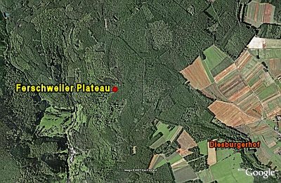 100 m
Natural Fortresses
Ferschweiler Plateau - Hasenmaar
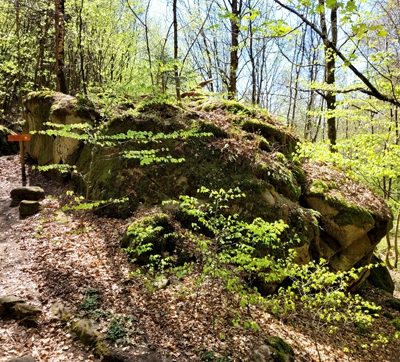 190 m
Works of Art
Stein der Wahrheit
Extraction and Processing of Raw Materials
Ehemaliger Steinbruch
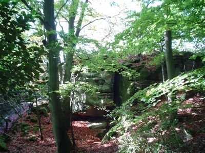 310 m
Natural Fortresses
Ferschweiler Plateau - Sonnenlay
Extraction and Processing of Raw Materials
Ehemaliger Steinbruch
Works of Art
Madonna im Stein
Field Names
Beim Haasenmaar
Standing Stones, Menhirs