Temples, Sanctuaries · Undated
Heidentempel
Ortslage


© GeoBasis-DE / LVermGeoRP, dl-de/by-2-0
There is no picture of this object yet. Do you have a photo that you would like to make available to the Kulturdatenbank? Submit a picture
Description
This description is only available in German.
Translate with Google opens this page in Google Translate (external service)
Fundstelle 270
Steinhausen erwähnt eine Sage, der zufolge an der Stelle der ehemaligen Pfarrkirche von Alsdorf einstmals ein "Heidentempel" stand.
Steinhausen 1932, 5
Classification
- Subject area
- Archaeological Monuments
- Category
- Religious Buildings
- Object type
- Temples, Sanctuaries
- Date
- Undatiert
- Period
- Undated
Location
- District
- Eifelkreis Bitburg-Prüm
- Collective municipality
- Südeifel
- Municipality
- Alsdorf
- Street
- Mühlenstraße
- Field name
- Ortslage
- Coordinates
- WGS 84: 49.887529, 6.465511 (Position: exact) WGS 84: 49° 53′ 15.1″ N, 6° 27′ 55.8″ E UTM 32 (ETRS89): E 317947 · N 5529206
Sources
Data sources
- Fundstellenkatalog: Die keltisch-römische Siedlung von Wallendorf und ihr archäologisches Umfeld. Dirk L. Krausse unter Mitarbeit von Antje Fischbock. 2006
On the internet
Last edited: 27 Jul 2007 Object ID: 13009
https://kulturdb.de/en/objekt/13009-alsdorf-heidentempel
Nearby
The nearest objects
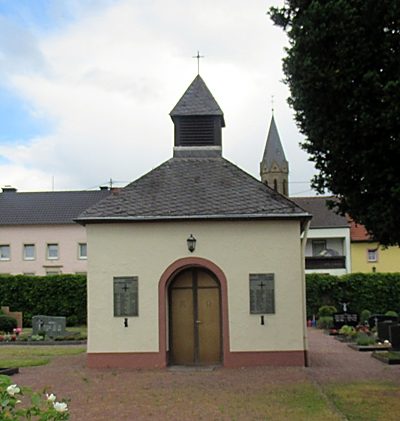 less than 10 m
Chapels
Friedhof und Friedhofskapelle
Farmhouses and Farm Buildings
Streckhof
Mills
Ehemalige Mühle an der Nims
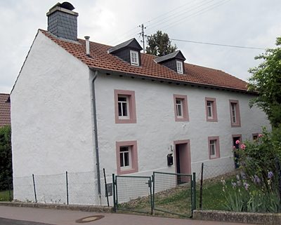 100 m
Farmhouses and Farm Buildings
Einhaus mit dreiachsigem Wohnteil
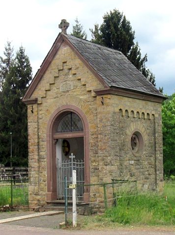 120 m
Chapels
Kapelle an der ehemalige Mühle
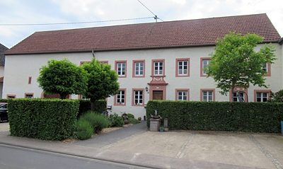 130 m
Farmhouses and Farm Buildings
Streckhof
 150 m
Place Names / Local History
Ortsname
 150 m
Place Names / Local History