Deserted Settlements · Renaissance
Inkart

Description
This description is only available in German.
Translate with Google opens this page in Google Translate (external service)
[...] Zu Wehlen gehörte der 1627 durch den "schwarzen Tod" (die Pest) vernichtete Ort Inkart, an den an der heutigen Wehlener Ortsgrenze noch ein Brunnen, eine Kapelle und ein Flurname erinnern. [...]
Classification
- Subject area
- Archaeological Monuments
- Category
- Settlements
- Object type
- Deserted Settlements
- Date
- 1627
- Period
- Renaissance
Location
- District
- Bernkastel-Wittlich
- Town
- Bernkastel-Kues
- Locality / location
- Wehlen
- Field name
- In Inkart
- Coordinates
- WGS 84: 49.947147, 7.026754 (Position: exact) WGS 84: 49° 56′ 49.7″ N, 7° 01′ 36.3″ E UTM 32 (ETRS89): E 358433 · N 5534621
Sources
Data sources
- Homepage Franz-Peter Kropp http://www.net-art.de/Kropp/wehlen1.htm
On the internet
de.wikipedia.org/wiki/Bernkastel-Kues
Picture credits
- Picture 1: Google Earth
Last edited: 3 Dec 2007 Object ID: 13179
https://kulturdb.de/en/objekt/13179-bernkastel-kues-inkart
Nearby
The nearest objects
Chapels
Inkarter Kapellchen
Field Names
Unter der Flurspitze
 200 m
Works of Art
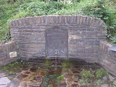
Sankt-Marien-Brunnen
Wayside Shrines and Stations of the Cross
Wegekreuz
 400 m
Surveying
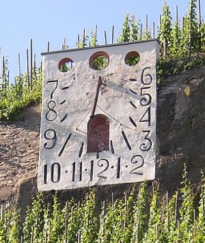
Zeltinger Sonnenuhr
 430 m
Castles
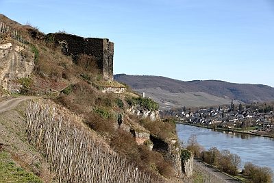
Ruine der Kunibertsburg
Vineyard Sites
Burg
Vineyard Sites