Extraction and Processing of Raw Materials · Historicism / Art Nouveau
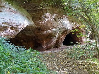
Ehemaliger Steinbruch


Description
This description is only available in German.
Translate with Google opens this page in Google Translate (external service)
An der Gemeindegrenze zu Kordel.
Classification
- Subject area
- Architectural and Art Monuments
- Category
- Economy, Trade and Transport
- Object type
- Extraction and Processing of Raw Materials
- Date
- Nach 1850
Location
- District
- Trier-Saarburg
- Collective municipality
- Trier-Land
- Municipality
- Welschbillig
- Field name
- Brandenberg
- Coordinates
- WGS 84: 49.845109, 6.627743 (Position: exact) WGS 84: 49° 50′ 42.4″ N, 6° 37′ 39.9″ E UTM 32 (ETRS89): E 329450 · N 5524109
Sources
Data sources
- [1] Topographische Karte von 1887.
On the internet
Picture credits
Last edited: 31 May 2015 Object ID: 13186
https://kulturdb.de/en/objekt/13186-welschbillig-ehemaliger-steinbruch
Nearby
The nearest objects
No picture
150 m
Charcoal Kilns
Ehemaliger Meilerplatz
 200 m
Fountains and Wells
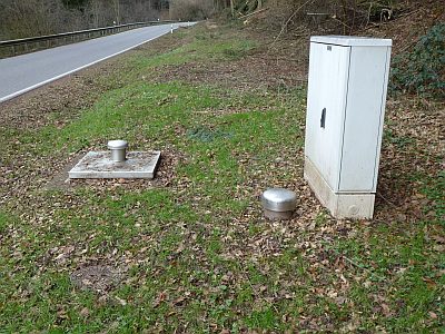
Brunnen zur Trinkwasserversorgung
 210 m
Field Names
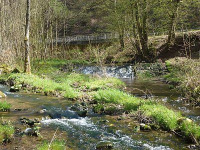
Beim Wehr
 220 m
Mills
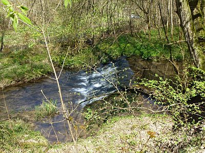
Ehemalige Mühle - Mühlenwehr
No picture
220 m
Charcoal Kilns
Ehemaliger Meilerplatz
 230 m
Field Names
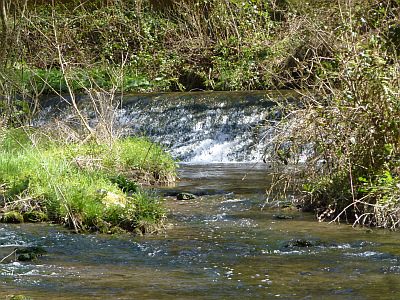
Heyminnerbach
 250 m
Caves
Höhlen in der Kaulay
No picture
290 m
Rocks