Extraction and Processing of Raw Materials · Renaissance
Sandsteinabbau um den Liescher Berg (1)
- Listed monument


© GeoBasis-DE / LVermGeoRP, dl-de/by-2-0
There is no picture of this object yet. Do you have a photo that you would like to make available to the Kulturdatenbank? Submit a picture
Description
This description is only available in German.
Translate with Google opens this page in Google Translate (external service)
Sandstein diente nicht nur als heimisches Baumaterial, sondern wurde um den Liescher Berg bis in die 1930er Jahre hinein gebrochen. Dieser z.B. auch bei der Vollendung des Kölner Domes eingesetzte Sandstein ernährte Steinbrecher, Steinhauer und Fuhrleute. [1]
Classification
- Subject area
- Architectural and Art Monuments
- Category
- Economy, Trade and Transport
- Object type
- Extraction and Processing of Raw Materials
- Date
- um 1700
- Period
- Renaissance
Location
- District
- Trier-Saarburg
- Collective municipality
- Konz
- Municipality
- Wasserliesch
- Field name
- Lesselskopf
- Coordinates
- WGS 84: 49.701574, 6.541566 (Position: exact) WGS 84: 49° 42′ 05.7″ N, 6° 32′ 29.6″ E UTM 32 (ETRS89): E 322732 · N 5508353
Sources
Data sources
- [1] Denkmaltopographie Bundesrepublik Deutschland, Kulturdenkmäler in Rheinland-Pfalz, Kreis Trier-Saarburg, 12.1 Wernersche Verlagsgesellschaft 1994.
On the internet
Last edited: 17 Oct 2007 Object ID: 13242
https://kulturdb.de/en/objekt/13242-wasserliesch-sandsteinabbau-um-den-liescher-berg-1
Nearby
The nearest objects
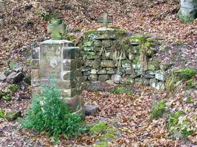 20 m
War Memorials
Krieger-Ehrenmal
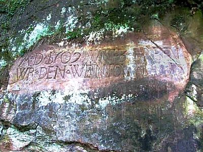 40 m
Inscriptions
Felsinschrift
Field Names
Kestenbüsch
Educational Trails
Igeler Verwerfung
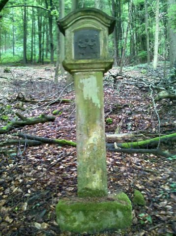 240 m
Wayside Shrines and Stations of the Cross
Stationenweg - X Station
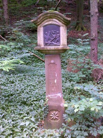 250 m
Wayside Shrines and Stations of the Cross
Stationenweg - IX Station
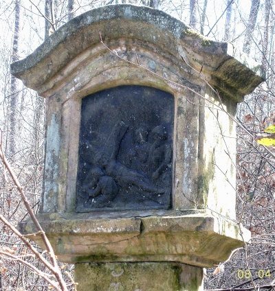 250 m
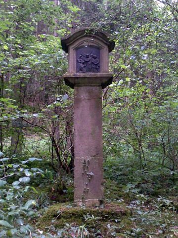
Wayside Shrines and Stations of the Cross
Stationenweg - XI Station
 280 m
Wayside Shrines and Stations of the Cross