Town Fortifications · Undated
Ehemaliger Johannisturm
- Listed monument


© GeoBasis-DE / LVermGeoRP, dl-de/by-2-0
There is no picture of this object yet. Do you have a photo that you would like to make available to the Kulturdatenbank? Submit a picture
Classification
- Subject area
- Architectural and Art Monuments
- Object type
- Town Fortifications
- Date
- Undatiert
- Period
- Undated
Location
- District
- Trier-Saarburg
- Collective municipality
- Saarburg-Kell
- Town
- Saarburg
- Street
- Auf dem Graben
- Field name
- Ortslage
- Coordinates
- WGS 84: 49.607254, 6.549941 (Position: exact) WGS 84: 49° 36′ 26.1″ N, 6° 32′ 59.8″ E UTM 32 (ETRS89): E 322994 · N 5497848
Sources
Data sources
- Stadtplan (um 1800) in: Denkmaltopographie Bundesrepublik Deutschland, Kulturdenkmäler in Rheinland-Pfalz, Kreis Trier-Saarburg, 12.1 Wernersche Verlagsgesellschaft 1994
On the internet
Last edited: 9 Jan 2007 Object ID: 13348
https://kulturdb.de/en/objekt/13348-saarburg-ehemaliger-johannisturm
Nearby
The nearest objects
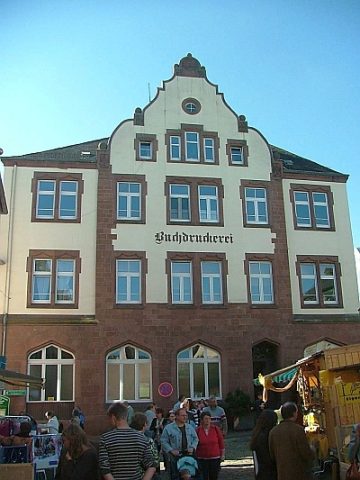 20 m
Historic Townscapes
Pferdemarkt
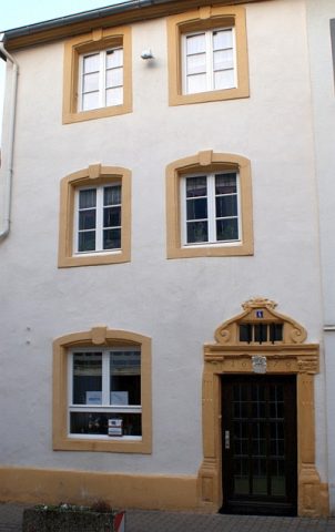 40 m
Town Houses and Commercial Buildings
Wohnhaus mit Hofraum
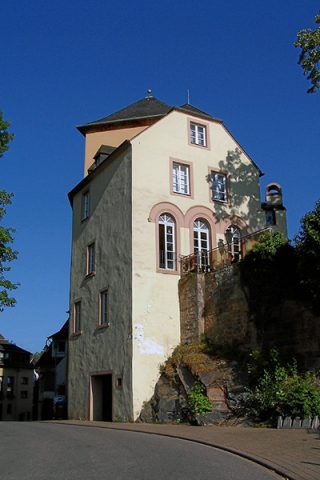 60 m
Town Fortifications
Oberer Kunohofturm
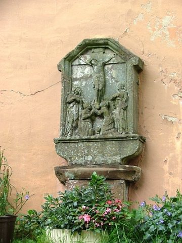 60 m
Wayside Shrines and Stations of the Cross
Kroatenkreuz am Kunohofturm
 60 m
Town Houses and Commercial Buildings
Portal
70 m
Town Houses and Commercial Buildings
Geschäfts- und Wohnhaus
No picture
80 m
Town Fortifications
Ehemaliger Bachturm
 80 m
Market Towns