Town Fortifications · Renaissance
Ehemaliger Brunnenturm
- Listed monument


© GeoBasis-DE / LVermGeoRP, dl-de/by-2-0
There is no picture of this object yet. Do you have a photo that you would like to make available to the Kulturdatenbank? Submit a picture
Classification
- Subject area
- Architectural and Art Monuments
- Object type
- Town Fortifications
- Date
- 1671
- Period
- Renaissance
Location
- District
- Trier-Saarburg
- Collective municipality
- Saarburg-Kell
- Town
- Saarburg
- Street
- Kunoweiher
- Field name
- Ortslage
- Coordinates
- WGS 84: 49.608923, 6.548756 (Position: exact) WGS 84: 49° 36′ 32.1″ N, 6° 32′ 55.5″ E UTM 32 (ETRS89): E 322914 · N 5498036
Sources
Data sources
- Stadtplan (um 1800) in: Denkmaltopographie Bundesrepublik Deutschland, Kulturdenkmäler in Rheinland-Pfalz, Kreis Trier-Saarburg, 12.1 Wernersche Verlagsgesellschaft 1994
On the internet
Last edited: 30 Oct 2007 Object ID: 13352
https://kulturdb.de/en/objekt/13352-saarburg-ehemaliger-brunnenturm
Nearby
The nearest objects
 30 m
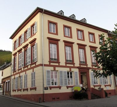
Town Houses and Commercial Buildings
Anwesen Rheinart - Wohngebäude
No picture
30 m
Farmhouses and Farm Buildings
Anwesen Rheinart - Keller- und Kelterhaus
No picture
50 m
Field Names
Am Wingertswegelchen
 70 m
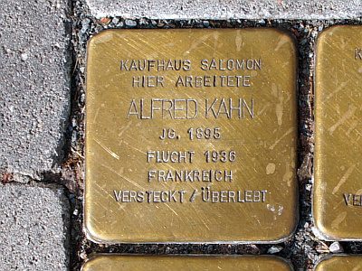
Stolpersteine (Stumbling Stones)
Stolperstein für Alfred Kahn
 70 m
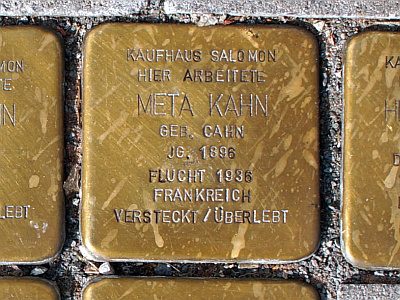
Stolpersteine (Stumbling Stones)
Stolperstein für Meta Kahn
 70 m
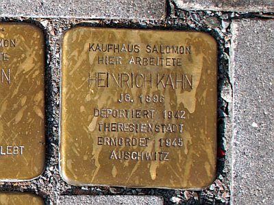
Stolpersteine (Stumbling Stones)
Stolperstein für Heinrich Kahn
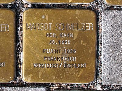 70 m
Stolpersteine (Stumbling Stones)
Stolperstein für Margot Schmelzer
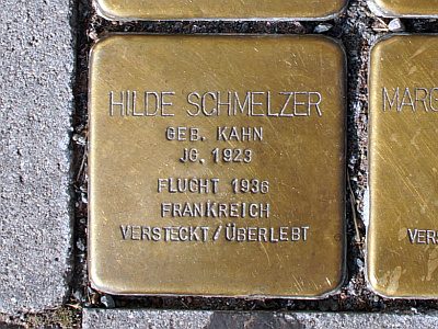 70 m
Stolpersteine (Stumbling Stones)