Town Fortifications · Renaissance
Ehemaliges Erdebachtor
- Listed monument


© GeoBasis-DE / LVermGeoRP, dl-de/by-2-0
There is no picture of this object yet. Do you have a photo that you would like to make available to the Kulturdatenbank? Submit a picture
Classification
- Subject area
- Architectural and Art Monuments
- Object type
- Town Fortifications
- Date
- 1671
- Period
- Renaissance
Location
- District
- Trier-Saarburg
- Collective municipality
- Saarburg-Kell
- Town
- Saarburg
- Street
- Graf-Siegfried-Straße 19 und 10
- Field name
- Ortslage
- Coordinates
- WGS 84: 49.608977, 6.550597 (Position: exact) WGS 84: 49° 36′ 32.3″ N, 6° 33′ 02.1″ E UTM 32 (ETRS89): E 323047 · N 5498038
Sources
Data sources
- Stadtplan (um 1800) in: Denkmaltopographie Bundesrepublik Deutschland, Kulturdenkmäler in Rheinland-Pfalz, Kreis Trier-Saarburg, 12.1 Wernersche Verlagsgesellschaft 1994
On the internet
Last edited: 30 Oct 2007 Object ID: 13357
https://kulturdb.de/en/objekt/13357-saarburg-ehemaliges-erdebachtor
Nearby
The nearest objects
No picture
50 m
Town Houses and Commercial Buildings
Ehemaliger Boemundhof
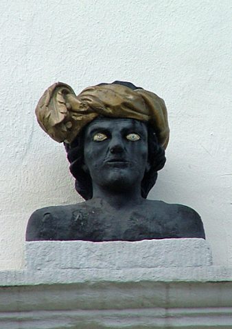 50 m
Catering, Inns and Hotels
Hotel zur Post
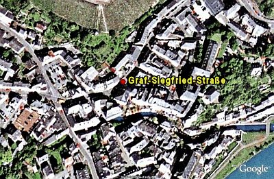 70 m
Historic Townscapes
Graf-Siegfried-Straße
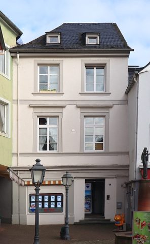 80 m
Courthouses
Ehemaliges kurfürstliches Amtsgericht
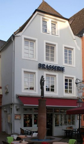 90 m
Town Houses and Commercial Buildings
Wohn- und Wirtschaftsgebäude
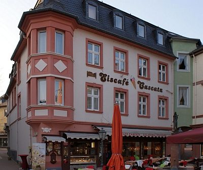 90 m
Town Houses and Commercial Buildings
Wohn- und Geschäftshaus
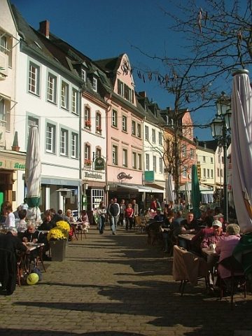 100 m
Historic Townscapes
Buttermarkt
No picture
100 m
Fords