Burial Sites · 20th Century
Bergmannsgrab


Description
This description is only available in German.
Translate with Google opens this page in Google Translate (external service)
Grab von 1934 auf dem alten Friedhof.
Classification
- Subject area
- Architectural and Art Monuments
- Category
- Religious Buildings
- Object type
- Burial Sites
- Date
- 1934
- Period
- 20th Century
Location
- District
- Trier-Saarburg
- Collective municipality
- Ruwer
- Municipality
- Thomm
- Field name
- Ortslage
- Coordinates
- WGS 84: 49.742712, 6.806325 (Position: within the village) WGS 84: 49° 44′ 33.8″ N, 6° 48′ 22.8″ E UTM 32 (ETRS89): E 341955 · N 5512334
Sources
Data sources
- Internet
On the internet
Picture credits
Last edited: 6 Jul 2012 Object ID: 1338
https://kulturdb.de/en/objekt/1338-thomm-bergmannsgrab
Nearby
The nearest objects
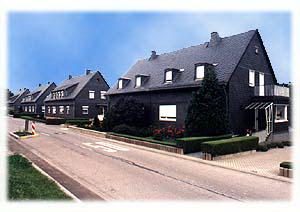 less than 10 m
Historic Townscapes
Siedlung
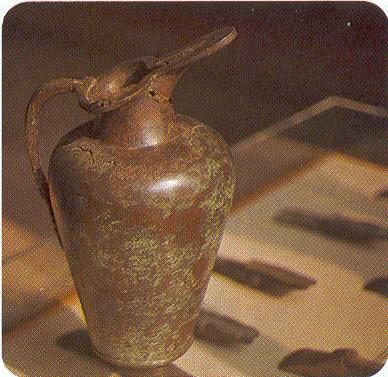 10 m
Place Names / Local History
Ortsgeschichte Thomm
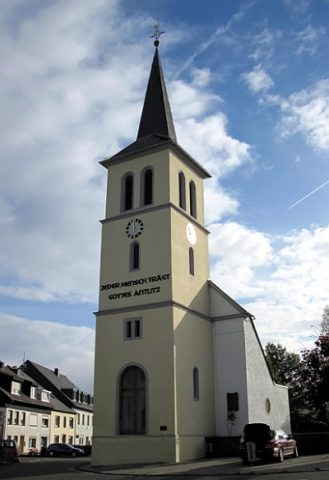 30 m
Catholic Churches
Sankt Paulus Bekehrung - Alte Pfarrkirche
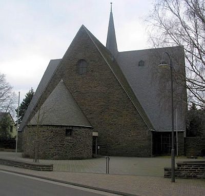 40 m
Catholic Churches
Sankt Paulus Bekehrung - Neue Pfarrkirche
 50 m
War Memorials
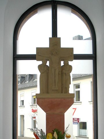
Kriegerdenkmal
 60 m
Works of Art
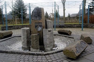
Dorfbrunnen
No picture
180 m
Field Names
In der Steinrausch
 190 m
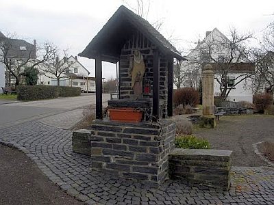
Monuments