Deserted Settlements · Renaissance
Zilsdorf


Description
This description is only available in German.
Translate with Google opens this page in Google Translate (external service)
Zur Pestzeit untergegangenes Dorf ? [1]
Classification
- Subject area
- Archaeological Monuments
- Category
- Settlements
- Object type
- Deserted Settlements
- Date
- Circa 1500 bis circa 1700
- Period
- Renaissance
Location
- District
- Eifelkreis Bitburg-Prüm
- Collective municipality
- Bitburger Land
- Municipality
- Orsfeld
- Field name
- Zilsdorf
- Coordinates
- WGS 84: 50.022442, 6.615834 (Position: presumed) WGS 84: 50° 01′ 20.8″ N, 6° 36′ 57.0″ E UTM 32 (ETRS89): E 329222 · N 5543849
Sources
Data sources
- [1] Karl E. Becker: Das Kyllburger Land. Kyllburg 1977. Hrsg. Verbandsgemeinde Kyllburg.
On the internet
bitburgerland.de/index.php?id=1606
Picture credits
Last edited: 3 Dec 2007 Object ID: 13433
https://kulturdb.de/en/objekt/13433-orsfeld-zilsdorf
Nearby
The nearest objects
No picture
360 m
Field Names
Vorder Seitert
No picture
390 m
Field Names
Auf Seitert
No picture
480 m
Field Names
Hinterst Seitert
No picture
530 m
Wayside Shrines and Stations of the Cross
Wegekreuz
No picture
680 m
Farmhouses and Farm Buildings
Quereinhaus - Kriemelsches Haus
 730 m
Farmhouses and Farm Buildings
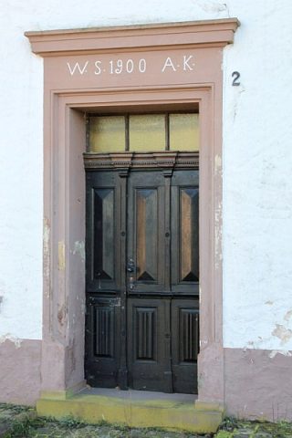
Hauseingang
 730 m
Wayside Shrines and Stations of the Cross
Schaft eines Wegekreuzes
No picture
740 m
Field Names