Extraction and Processing of Raw Materials · Undated
Erzgrube Flur Auf der Eisenkaul


© GeoBasis-DE / LVermGeoRP, dl-de/by-2-0
There is no picture of this object yet. Do you have a photo that you would like to make available to the Kulturdatenbank? Submit a picture
Description
This description is only available in German.
Translate with Google opens this page in Google Translate (external service)
Das Erz soll nach Jünkerath oder Mechernich gebracht worden sein. Die Grube sei aber nicht besonders ergiebig gewesen. [1]
Classification
- Subject area
- Architectural and Art Monuments
- Category
- Economy, Trade and Transport
- Object type
- Extraction and Processing of Raw Materials
- Date
- Undatiert
- Period
- Undated
Location
- District
- Eifelkreis Bitburg-Prüm
- Collective municipality
- Bitburger Land
- Municipality
- Zendscheid
- Field name
- Auf der Eisenkaul
- Coordinates
- WGS 84: 50.102558, 6.615408 (Position: exact) WGS 84: 50° 06′ 09.2″ N, 6° 36′ 55.5″ E UTM 32 (ETRS89): E 329476 · N 5552757
Sources
Data sources
- [1] Uwe Widera, 54550 Daun, 2009.
On the internet
Last edited: 10 Nov 2009 Object ID: 13435
https://kulturdb.de/en/objekt/13435-zendscheid-erzgrube-flur-auf-der-eisenkaul
Nearby
The nearest objects
Field Names
Auf der Eisenkaul
 130 m
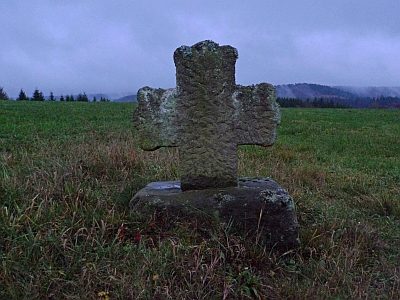
Wayside Shrines and Stations of the Cross
Wegekreuz
Field Names
In der Fölkendell
Field Names
Fölkendellsheck
Field Names
An der Eisenkaul
Field Names
Bei der Fölkendellswiese
Field Names
Fölkendellswiese
Field Names