Wayside Shrines and Stations of the Cross · Undated
Ehemaliger Kreuzstumpf


© GeoBasis-DE / LVermGeoRP, dl-de/by-2-0
There is no picture of this object yet. Do you have a photo that you would like to make available to the Kulturdatenbank? Submit a picture
Classification
- Subject area
- Architectural and Art Monuments
- Category
- Religious Buildings
- Object type
- Wayside Shrines and Stations of the Cross
- Date
- Undatiert
- Period
- Undated
Location
- District
- Trier-Saarburg
- Collective municipality
- Trier-Land
- Municipality
- Zemmer
- Locality / location
- Rodt
- Street
- Trier Straße / Geigenstraße
- Field name
- Ortslage
- Coordinates
- WGS 84: 49.867527, 6.668929 (Position: presumed) WGS 84: 49° 52′ 03.1″ N, 6° 40′ 08.1″ E UTM 32 (ETRS89): E 332488 · N 5526508
Sources
Data sources
- [1] Reuter, Thömmes: Die Fidei. Band 2. Hrsg.: Arbeitskreis für Heimatgeschichte und Literatur im Eifelverein e.V. / Ortsgruppe Speicher. 2006
On the internet
Last edited: 13 Nov 2007 Object ID: 13464
https://kulturdb.de/en/objekt/13464-zemmer-ehemaliger-kreuzstumpf
Nearby
The nearest objects
No picture
170 m
Wayside Shrines and Stations of the Cross
Nischenkreuz
No picture
180 m
Place Names / Local History
Ortsname / Ortsgeschichte
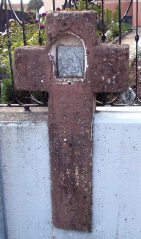 210 m
Wayside Shrines and Stations of the Cross
Schaftkreuz
No picture
270 m
Field Names
Kappesstücker
No picture
270 m
Extraction and Processing of Raw Materials
Ehemaliger Steinbruch
No picture
270 m
Field Names
Beim Güterborn
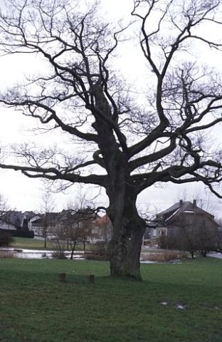 390 m
Oaks
Eiche
390 m
Oaks