Wayside Shrines and Stations of the Cross · Baroque / Rococo
Barockes Schaftkreuz von 1759
- Listed monument


Description
This description is only available in German.
Translate with Google opens this page in Google Translate (external service)
An der Straße nach Malberg. Bis zu seiner Versetzung 1985 stand das Kreuz mitten in einer Viehweide und markierte dort den ursprünglichen Verlauf der Straße nach Malberg; in deren Flucht auch der heutige, weiter westlich gelegene Standort beim Friedhof. [1]
Classification
- Subject area
- Architectural and Art Monuments
- Category
- Religious Buildings
- Object type
- Wayside Shrines and Stations of the Cross
- Date
- 1759
- Period
- Baroque / Rococo
Location
- District
- Eifelkreis Bitburg-Prüm
- Collective municipality
- Bitburger Land
- Municipality
- Malbergweich
- Street
- Haupstraße
- Field name
- Vor der Hardt
- Coordinates
- WGS 84: 50.052074, 6.559572 (Position: exact) WGS 84: 50° 03′ 07.5″ N, 6° 33′ 34.5″ E UTM 32 (ETRS89): E 325300 · N 5547274
Sources
Data sources
- [1] Denkmaltopographie Bundesrepublik Deutschland, Kulturdenkmäler in Rheinland-Pfalz, Kreis Bitburg-Prüm, 9.1 Wernersche Verlagsgesellschaft 1994. ISBN 3-88462-081-9
On the internet
Picture credits
Last edited: 21 May 2022 Object ID: 13583
https://kulturdb.de/en/objekt/13583-malbergweich-barockes-schaftkreuz-von-1759
Nearby
The nearest objects
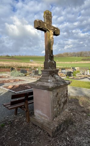 60 m
Wayside Shrines and Stations of the Cross
Friedhofskreuz
Field Names
Beim Kirchenwieschen
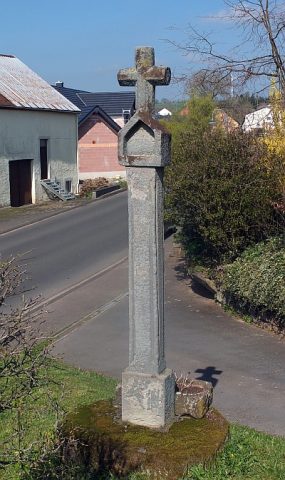 320 m
Wayside Shrines and Stations of the Cross
Halfenkreuz
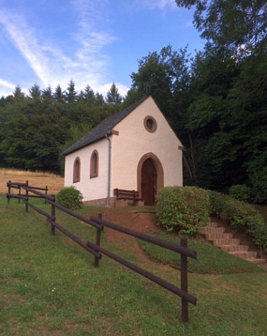 340 m
Chapels
Marienkapelle vor der Hardt
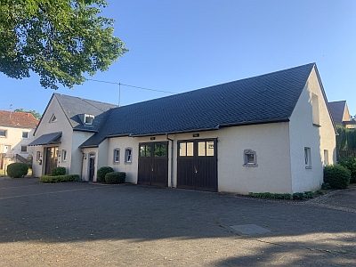 450 m
Farmhouses and Farm Buildings
Ehemaliges Wohnhaus
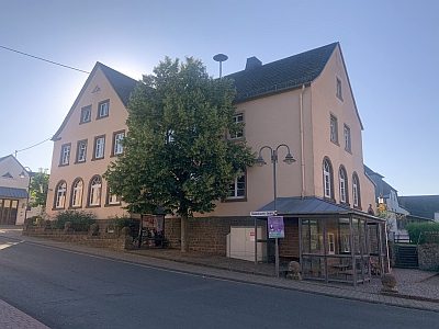 460 m
Schools
Ehemaliges Schulhaus
Fossils
Fundstellen tierischer Versteinerungen
Cremation Graves