Wayside Shrines and Stations of the Cross · Baroque / Rococo
Wegekreuz
- Listed monument


© GeoBasis-DE / LVermGeoRP, dl-de/by-2-0
There is no picture of this object yet. Do you have a photo that you would like to make available to the Kulturdatenbank? Submit a picture
Description
This description is only available in German.
Translate with Google opens this page in Google Translate (external service)
Von einem 1763 durch NICLAS POLIG errichteten Wegekreuz [ist] nur der untere Teil des Schaftes mit einer langen, aber unvollständigen Inschrift erhalten; interessant [ist] hier die Schreibweise des Ortsnamens als ZASCHAET.
[...]
Anlässlich einer Renovierung wurde dem Stumpf ein neues Abschlusskreuz mit der Jahreszahl 1863 aufgesetzt. [1]
Classification
- Subject area
- Architectural and Art Monuments
- Category
- Religious Buildings
- Object type
- Wayside Shrines and Stations of the Cross
- Date
- 1763
- Period
- Baroque / Rococo
Location
- District
- Eifelkreis Bitburg-Prüm
- Collective municipality
- Bitburger Land
- Municipality
- Zendscheid
- Street
- Dorfstraße 25
- Field name
- Ortslage
- Coordinates
- WGS 84: 50.098888, 6.603788 (Position: exact) WGS 84: 50° 05′ 56.0″ N, 6° 36′ 13.6″ E UTM 32 (ETRS89): E 328632 · N 5552375
Sources
Data sources
- [1] Denkmaltopographie Bundesrepublik Deutschland, Kulturdenkmäler in Rheinland-Pfalz, Kreis Bitburg-Prüm, 9.1 Wernersche Verlagsgesellschaft 1994. ISBN 3-88462-081-9
On the internet
Last edited: 18 Dec 2007 Object ID: 13645
https://kulturdb.de/en/objekt/13645-zendscheid-wegekreuz
Nearby
The nearest objects
Fossils
Fundstellen tierischer Versteinerungen
Wayside Shrines and Stations of the Cross
Wegekreuz
Catholic Churches
Sankt Maria
Field Names
Bornwiesen
Place Names / Local History
Erste Erwähnung als Cinsceith
 120 m
Coats of Arms
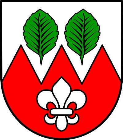
Wappen der Gemeinde Zendscheid
 160 m
Railways
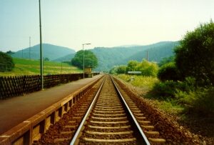
Eifelbahn (Denkmalzone)
Field Names