Road Transport · Undated
Hammerbrücke


© GeoBasis-DE / LVermGeoRP, dl-de/by-2-0
There is no picture of this object yet. Do you have a photo that you would like to make available to the Kulturdatenbank? Submit a picture
Description
This description is only available in German.
Translate with Google opens this page in Google Translate (external service)
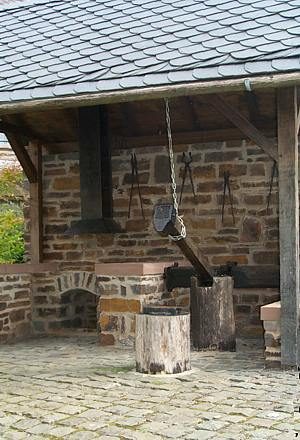
Unterhalb des Dorfes Rapperath steht im Tal eine massive, aus Schiefersteinen erbaute Rundbogenbrücke. Die Brücke führt über die Dhron, die hier die Grenze zwischen der Gemarkung Merscheid und der Gemarkung Weiperath bildet. Es ist die "Hammerbrücke". Der Name erinnert an ein Hammerwerk, das hier vor über 200 Jahren errichtet wurde. [1]
Classification
- Subject area
- Architectural and Art Monuments
- Category
- Economy, Trade and Transport
- Object type
- Road Transport
- Date
- Undatiert
- Period
- Undated
Location
- District
- Bernkastel-Wittlich
- Collective municipality
- Einheitsgemeinde Morbach
- Municipality
- Morbach
- Locality / location
- Weiperath
- Field name
- Beim Hammer
- Coordinates
- WGS 84: 49.816594, 7.073927 (Position: exact) WGS 84: 49° 48′ 59.7″ N, 7° 04′ 26.1″ E UTM 32 (ETRS89): E 361444 · N 5520019
Sources
Data sources
- [1] Heimatverein Weiperath e.V. "Weiperath - ein Dorf und seine Geschichte"
On the internet
Last edited: 15 Jan 2008 Object ID: 13822
https://kulturdb.de/en/objekt/13822-morbach-hammerbruecke
Nearby
The nearest objects
 120 m
Ironworks
Ehemaliges Hammerwerk
Field Names
Kappesgarten
Wayside Shrines and Stations of the Cross
Lexe-Kreuz
Field Names
Der Anspann Hoxlay
Field Names
Aufm Anspann
Field Names
Im Anspann
Field Names
Am Anspann
Wayside Shrines and Stations of the Cross