Water Supply · Celtic / Roman Period
Reste von drei Wasserleitungen


© GeoBasis-DE / LVermGeoRP, dl-de/by-2-0
There is no picture of this object yet. Do you have a photo that you would like to make available to the Kulturdatenbank? Submit a picture
Description
This description is only available in German.
Translate with Google opens this page in Google Translate (external service)
Oberhalb der Paulskirche, z. T. auf Gemarkung Wehlen, wurden nahe beieinander die Reste von drei Wasserleitungen (eine davon eine Tunnelleitung) aufgedeckt. [1]
Classification
- Subject area
- Archaeological Monuments
- Category
- Water Supply
- Date
- Circa 500 vor Chr. bis circa 500 nach Chr.
- Period
- Celtic / Roman Period
Location
- District
- Bernkastel-Wittlich
- Collective municipality
- Bernkastel-Kues
- Municipality
- Lieser
- Field name
- Ober Pauls
- Coordinates
- WGS 84: 49.941448, 7.017466 (Position: presumed) WGS 84: 49° 56′ 29.2″ N, 7° 01′ 02.9″ E UTM 32 (ETRS89): E 357750 · N 5534005
Sources
Data sources
- [1] Die Kunstdenkmäler der Rheinprovinz. Bd. 15. Die Kunstdenkmäler des Kreises Bernkastel, (1935).
On the internet
Last edited: 17 Jan 2008 Object ID: 13840
https://kulturdb.de/en/objekt/13840-lieser-reste-von-drei-wasserleitungen
Nearby
The nearest objects
Extraction and Processing of Raw Materials
Ehemaliger Steinbruch an der Paulskirche
 310 m
Pilgrimage Sites
Paulskirche auf dem Paulsberg
 310 m
Pilgrimage Sites
Paulskirche auf dem Paulsberg - Ausstattung
 320 m
Wayside Shrines and Stations of the Cross
Kreuzwegstation
 400 m
Wayside Shrines and Stations of the Cross
Kreuzwegstation - 7. Station
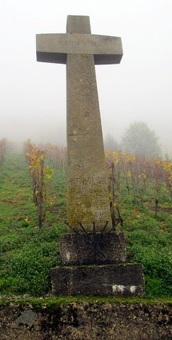 430 m
Wayside Shrines and Stations of the Cross
Friedenskreuz bei der Paulskirche
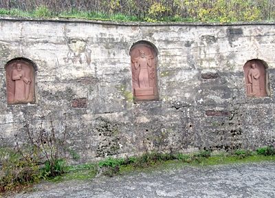 470 m
Wayside Shrines and Stations of the Cross
Drei Sandsteinreliefs in Weinbergsnischen
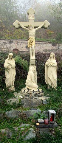 480 m
Wayside Shrines and Stations of the Cross