Settlements · Celtic / Roman Period
Spuren römischer Besiedlung


© GeoBasis-DE / LVermGeoRP, dl-de/by-2-0
There is no picture of this object yet. Do you have a photo that you would like to make available to the Kulturdatenbank? Submit a picture
Description
This description is only available in German.
Translate with Google opens this page in Google Translate (external service)
Spuren römischer Besiedlung finden sich am nördlichen Hang zum Hinterbach, oberhalb der Hinterbachmühle. [1]
Classification
- Subject area
- Archaeological Monuments
- Category
- Settlements
- Object type
- Settlements
- Date
- Circa 500 vor Chr. bis circa 500 nach Chr.
- Period
- Celtic / Roman Period
Location
- District
- Bernkastel-Wittlich
- Collective municipality
- Bernkastel-Kues
- Municipality
- Longkamp
- Locality / location
- Longkamperbach
- Field name
- Unten im Korkel
- Coordinates
- WGS 84: 49.867754, 7.106234 (Position: presumed) WGS 84: 49° 52′ 03.9″ N, 7° 06′ 22.4″ E UTM 32 (ETRS89): E 363912 · N 5525647
Sources
Data sources
- [1] Die Kunstdenkmäler der Rheinprovinz. Bd. 15. Die Kunstdenkmäler des Kreises Bernkastel, (1935).
On the internet
Last edited: 17 Jan 2008 Object ID: 13841
https://kulturdb.de/en/objekt/13841-longkamperbach-spuren-roemischer-besiedlung
Nearby
The nearest objects
Mills
Ehemalige Dietzenmühle
Mills
Andresmühle am Hinterbach
Mills
Dietzenmühle am Hinterbach
Field Names
Krauwald
Field Names
Krauwald
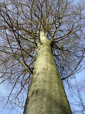 430 m
Beeches
Königsbaum
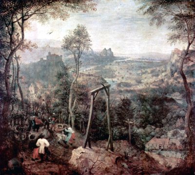 450 m
Execution Sites
Gewann Galgenhorst
Mills