Road Transport · Gothic
Matheisbrücke


© GeoBasis-DE / LVermGeoRP, dl-de/by-2-0
There is no picture of this object yet. Do you have a photo that you would like to make available to the Kulturdatenbank? Submit a picture
Description
This description is only available in German.
Translate with Google opens this page in Google Translate (external service)
[...] Die Matheisbrücke nahe dem Standort der Reinhardsmühle [...] wird bereits 1398 als "Mathys Mule" erwähnt, gelegen unweit der Walholzkirche, "an dem Steg, der über die große Bach geht". [1]
Classification
- Subject area
- Architectural and Art Monuments
- Category
- Economy, Trade and Transport
- Object type
- Road Transport
- Date
- 1398
- Period
- Gothic
Location
- District
- Bernkastel-Wittlich
- Collective municipality
- Einheitsgemeinde Morbach
- Municipality
- Morbach
- Locality / location
- Reinhardsmühle
- Field name
- Louiswies
- Coordinates
- WGS 84: 49.802083, 7.056241 (Position: exact) WGS 84: 49° 48′ 07.5″ N, 7° 03′ 22.5″ E UTM 32 (ETRS89): E 360130 · N 5518438
Sources
Data sources
- [1] Berthold Staudt: Der Honolsteiner Weg. Historische Wegeverbindung von der Burg Hunolstein zur Burg Landshut. http://www.morbach.de/tourismus/PDF_Tourismus/Wandern_Hunolsteinerw…
On the internet
morbach.de/tourismus/PDF_Tourismus/Wandern_Hunolsteinerweg.pdf
Last edited: 17 Jan 2008 Object ID: 13844
https://kulturdb.de/en/objekt/13844-morbach-matheisbruecke
Nearby
The nearest objects
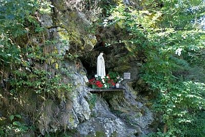 less than 10 m
Marian Grottoes
Mariengrotte an der Reinhardsmühle
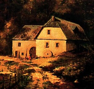 50 m
Mills
Reinhardsmühle im Dhrontal
Field Names
Kirchenwies
Field Names
Neuenbornkopf
Field Names
Am Neuenborn
Field Names
Neuenborn
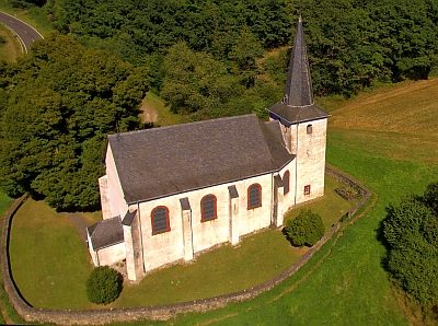 440 m
Catholic Churches
Walholzkirche - Außen
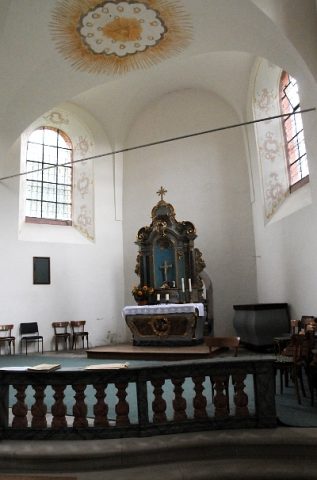 440 m
Catholic Churches