Wayside Shrines and Stations of the Cross · Historicism / Art Nouveau
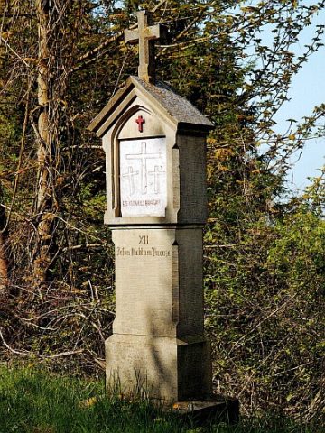
Kreuzweganlage zur Rochuskapelle - 9. Station
- Listed monument


Description
This description is only available in German.
Translate with Google opens this page in Google Translate (external service)
Entlang des auf die südliche Anhöhe führenden Bergweges und am Saum zum westlich davon gelegenen Weinberg stehende Kreuzweganlage von 1913. Vierzehn schlichte Sandsteinstationen, jeweils aus glattem Schaft, verdachtem Aufsatz und Abschlußkreuz; die Darstellungen neu. [1]
Classification
- Subject area
- Architectural and Art Monuments
- Category
- Religious Buildings
- Object type
- Wayside Shrines and Stations of the Cross
- Date
- 1913
Location
- District
- Trier-Saarburg
- Collective municipality
- Konz
- Municipality
- Oberbillig
- Street
- Brückenstraße
- Field name
- Auf Spies
- Coordinates
- WGS 84: 49.704704, 6.501748 (Position: exact) WGS 84: 49° 42′ 16.9″ N, 6° 30′ 06.3″ E UTM 32 (ETRS89): E 319873 · N 5508795
Sources
Data sources
- [1] Denkmaltopographie Bundesrepublik Deutschland, Kulturdenkmäler in Rheinland-Pfalz, Kreis Trier-Saarburg, 12.1 Wernersche Verlagsgesellschaft 1994.
On the internet
Picture credits
Last edited: 5 Feb 2021 Object ID: 13862
https://kulturdb.de/en/objekt/13862-oberbillig-kreuzweganlage-zur-rochuskapelle-9-station
Nearby
The nearest objects
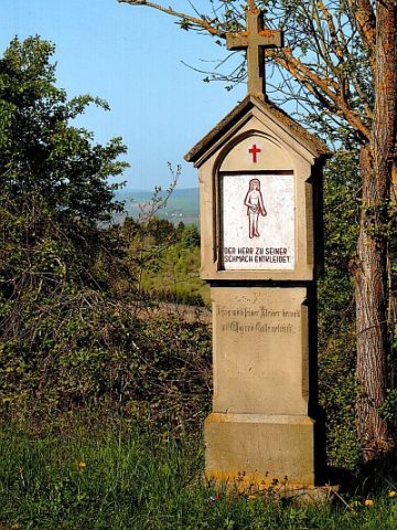 60 m
Wayside Shrines and Stations of the Cross
Kreuzweganlage zur Rochuskapelle - 10. Station
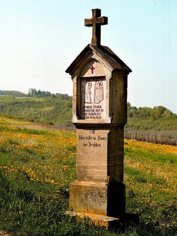 80 m
Wayside Shrines and Stations of the Cross
Kreuzweganlage zur Rochuskapelle - 8. Station
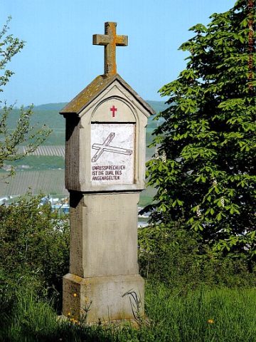 110 m
Wayside Shrines and Stations of the Cross
Kreuzweganlage zur Rochuskapelle - 11. Station
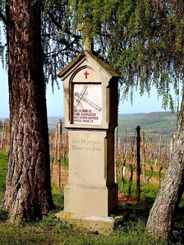 110 m
Wayside Shrines and Stations of the Cross
Kreuzweganlage zur Rochuskapelle - 7. Station
Extraction and Processing of Raw Materials
Ehemaliger Steinbruch
Extraction and Processing of Raw Materials
Ehemaliger Steinbruch
 160 m
Wayside Shrines and Stations of the Cross
Kreuzweganlage zur Rochuskapelle - 12. Station
Extraction and Processing of Raw Materials